
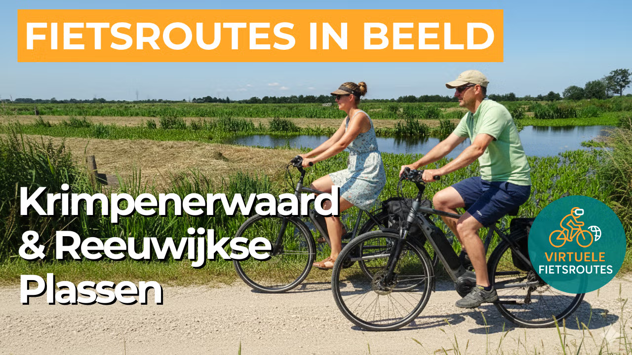
Cycling route Krimpenerwaard and Reeuwijkse Plassen
Cycling through the green heart of South Holland, where peat meadows, narrow dikes and shimmering water combine to create wide open views, windmills and quiet country roads around Gouda.
The Landscape
The Krimpenerwaard is a classic peat meadow region between the rivers Lek and Hollandse IJssel, with long ditches, open grasslands and farmhouses scattered far apart across the landscape. What is now a peaceful polder mosaic was once an extensive marshland, later reclaimed into narrow fields that still give the landscape its distinctive rhythm. Because of the wet soil, livestock farming became the natural choice, and this is exactly what makes the region so recognisable, with cows grazing in the meadows and cheese farms where tradition remains visible and sometimes even tangible.
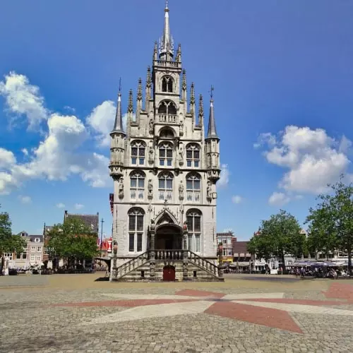
North of Gouda lie the Reeuwijkse Plassen, created through centuries of peat extraction and characterised by elongated waterways, reed fringes and narrow strips of land. Here, you cycle along quiet roads beside the shores and wooded embankments, with constantly changing views across the water. The combination of sky, water and peat meadows gives this route a spacious character that feels slightly different in every season.
What You’ll Discover Along the Way
In the Krimpenerwaard, the route follows the historic pattern of long, narrow fields, with ditches cutting through the grasslands like shimmering lines. You cycle past farmhouses, pollard willows and embankments that keep the landscape open, allowing you to look far ahead at all times. It is precisely this calmness and rhythm that make this polder landscape so enjoyable for virtual cycling.
Along the edges of the polders, you can see how the wet peat landscape continues to shape the scenery, with reed fringes, marshy grasslands and shallow wetlands where birds like to forage. Land subsidence and water management are visible everywhere here, from pumping systems to embankments and historic waterways. This gives the route its distinctive low lying character, with water never far away.
The Reeuwijkse Plassen bring light and openness to the route, with broad stretches of water, reed beds and narrow strips of land that constantly change the view. Along small marinas and quiet shores, the water repeatedly appears between willows and grasslands. This part of the route feels water rich and relaxing, making it ideal for a calm virtual cycling experience.
Along canals, drainage channels and boezem waters, you cycle through the network that has kept this region dry and liveable for centuries. The gently flowing water beside the road creates a sense of calm, while locks, bridges and embankments serve as subtle reminders of the ongoing cooperation between people and landscape.
Ride along with us on this virtual bike tour
Virtual cycling through the Krimpenerwaard and the Reeuwijkse Plassen takes you through a classic peat meadow landscape around Gouda, with long ditches, narrow embankments, cheese farms, windmills and wide open views. You follow quiet polder roads where the historic field pattern sets the rhythm and water and grassland constantly alternate.
Around the Reeuwijkse Plassen unfolds a water rich landscape of elongated lakes, reed fringes, wooded embankments and quiet shores, shaped by centuries of peat extraction. As the light dances across the water, you experience a relaxing virtual cycling route filled with scenic views, birdsong and a true Dutch polder atmosphere.
Want to learn more about virtual cycling? THIS IS HOW VIRTUAL CYCLING WORKS
Route map and cycling junctions
Start and finish near cycling junction 68 on the Loet in Lekkerkerk. Because this is a circular route, you can also start at one of the other cycling junctions along the route.
Distance: 50 km
Estimated riding time: 3 hours 22 minutes
Elevation gain: 15 m
Paved roads: 94%
Unpaved / semi-paved: 6%
Ideal for: e-bikes and city bikes
Along the way: several options for a coffee break or lunch.


