
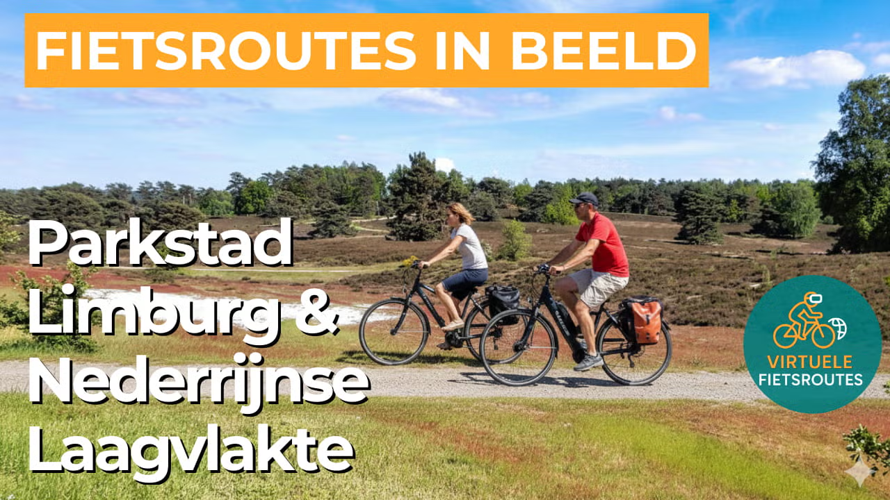
Cycling route Parkstad Limburg and Lower Rhine Plain
Cycling through a gently rolling landscape of heathlands, drifting dunes, fens, forests, marshes, stream valleys, and deep quarries.
The Landscape
Parkstad Limburg is a region full of contrasts, where the mining past and urban expansion are increasingly giving way to a renewed and greener landscape. Around Heerlen, a vibrant mosaic of hills, stream valleys, and urban parks is emerging, with flower-rich edges, orchards, and ecological corridors that gradually blend the city into the surrounding countryside.
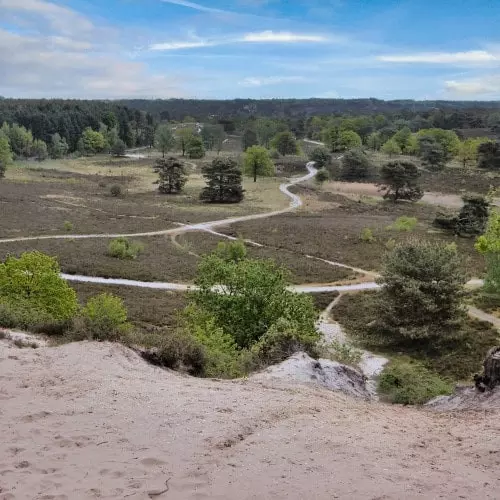
One of the highlights is Brunssummerheide, the largest continuous heathland area in South Limburg, with rolling paths winding past fens, drifting sands, and forest edges. Further east, the Lower Rhine Plain opens into a landscape of broad fields, gentle slopes, and stream valleys, where new nature areas are increasingly interwoven with agriculture and the border landscape.
What You’ll Discover Along the Way
Between Brunssum and Heerlen, you cycle from sheltered forest edges into the open expanses of the heath, where elevation changes and sandy plains give the landscape a spacious feel. In the Brunssummerheide, drifting dunes, fens, and purple heathlands alternate along winding paths that continually reveal new views.
Along the route, you can see how Parkstad Limburg has reinvented itself, with greenery returning to places once dominated by industry and mining infrastructure. The transitions between park landscapes, historic traces in the terrain, and newly created nature areas make the ride especially fascinating, as if you were cycling through a living history book.
Stream valleys cut through the region like green veins, bringing coolness with wet grasslands, reed beds, and small groves of poplar and willow. Between the open fields and forest edges, these waterways create variety, tranquillity, and a natural rhythm that carries the entire route.
The terrain here is surprisingly lively, with gentle elevation changes that keep the ride playful without becoming demanding. Short climbs and relaxed descents continually reveal new views across heathlands, forest edges, and the open areas toward the border region.
Ride along with us on this virtual bike tour
Virtual cycling through Parkstad Limburg and the Lower Rhine Plain takes you through a surprising mix of heathlands, forests, and open stream valleys, with gentle elevation changes that make the route especially lively. From the comfort of your own home, you experience the transition from urban edge to nature, with wide views and quiet cycling paths that invite you to keep riding.
Along the way, the Brunssummerheide and the open countryside toward the border emerge as varied highlights, ranging from fens and sandy stretches to wide arable fields. This virtual cycling route is ideal for anyone who wants to train in a relaxed way while experiencing the atmosphere of South Limburg and the border landscape.
Wil je meer weten over virtueel fietsen? ZO WERKT VIRTUEEL FIETSEN
Route map and cycling junctions
Start and finish near cycling junction 76 on the Schaapskooiweg in Heerlen. Because this is a circular route, you can also start at one of the other cycling junctions along the route.
Distance: 52 km
Estimated riding time: 3 hours 28 minutes
Elevation gain: 420 m
Paved roads: 82%
Unpaved / semi-paved: 18%
Ideal for: e-bikes and city bikes
Along the way: several options for a coffee break or lunch.


