
Cycling route Oldambt and Groningse Stuwwallen
Cycling through a historic Groningen landscape of woodland edges, marshland zones, open fields, and canals, with wide panoramic views across the Oldambtmeer.

The Landscape
With 14 million cubic metres of water and a surface area of 800 hectares, the Oldambtmeer is a remarkably large lake in the north of the Netherlands. Around the lake, the scenery is constantly changing. To the east, young woodlands, grasslands, marshes, hedgerows and glacial ridge edges give the route a green and sheltered character. Heading south, canals, dikes, reed beds and ponds create a varied, water-rich landscape, while in the northwest you cycle past vast fields of grain and rapeseed, with stately farmhouses on the horizon.
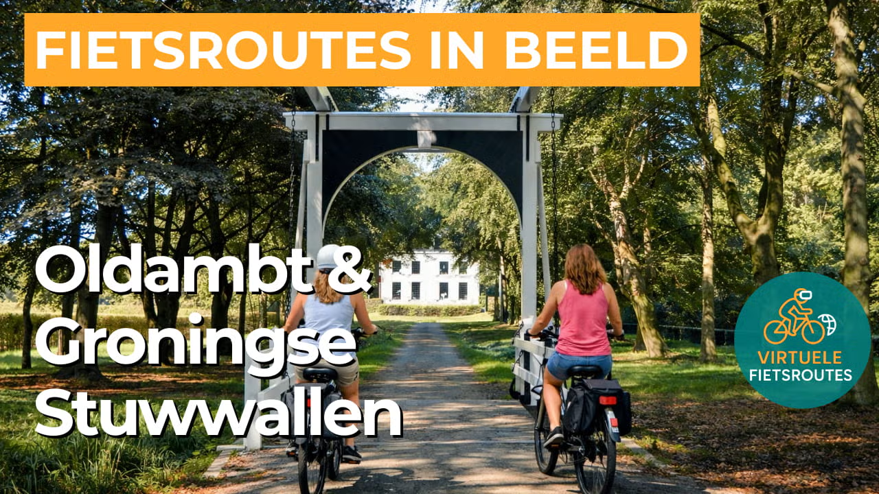
The Groningen glacial ridges (Groningse Stuwwallen) form a rare, gently undulating landscape in a province usually associated with flat terrain. They were created during the penultimate ice age, when advancing ice pushed up sand and boulders into low, rolling ridges that still shape the natural elevation of the area today. On and around these ridges, woodlands, heath fringes, arable fields and meadows alternate, while small streams and hollows add extra variety. Estates, historic farmhouses and characteristic villages give the landscape a distinct cultural-historical character along the way.
Wat je onderweg ziet
On the Groningse Stuwwallen, you cycle past compact woodlands, hedgerows and wet grasslands that together create a surprising variety. Around De Tjamme and along the edge of the glacial ridge, reed beds, marshland and bird-rich rough vegetation merge into one another, so the landscape constantly shifts in atmosphere. Near Midwolda, Landgoed Ennemaborg adds extra charm with its parkland, woodland and sheltered lanes.
In the Oldambt, the large-scale clay landscape defines the scenery, with wide fields, long straight lines and a distant horizon. Dikes, open polders and green ribbons around villages and farmsteads bring structure to this sense of openness. The route unfolds in a calm rhythm of steady cycling, looking around and taking in a new panorama time and again.
The Oldambtmeer near Blauwestad forms the water-rich heart of the route, with open water that adds a sense of light and space to the landscape. Wide shores and viewpoints make this section ideal for picking up the pace and fully taking in the surroundings. On the Groningse Stuwwallen, smaller ponds and wet hollows add extra variety among the greenery.
Water shapes the route here, from ditches and canals in the polders to low-lying areas where the land becomes wetter and more rugged. De Tjamme originated as a medieval peat stream on the boundary between Oldambt and Reiderland and is still recognisable today as a watercourse and nature corridor. This fine network of waterways creates small bridges, views along the reeds and a landscape that remains calm yet never monotonous.
Ride along with us on this virtual bike tour
Virtual cycling through Oldambt and the Groningse Stuwwallen lets you experience from home the striking contrast between the wide clay landscape of Oost-Groningen and the unexpectedly rolling edges of the glacial ridges near Midwolda. In the video, you ride along the Oldambtmeer and through open fields with long sightlines, where dikes, canals and monumental farmhouses give the landscape rhythm and character.
At the Groningse Stuwwallen, the landscape becomes more small-scale, with gentle elevation changes, woodlands and hedgerows that give the route a more sheltered feel. This variation makes it an enjoyable virtual ride to follow at a steady pace on the hometrainer or to explore your outdoor route in advance.
Want to learn more about virtual cycling? THIS IS HOW VIRTUAL CYCLING WORKS
Route map and cycling junctions
Start and finish near cycling junction 12 on the Strandweg in Midwolda. Because this is a circular route, you can also start at one of the other cycling junctions along the route.
Distance: 54 km
Estimated riding time: 3 hours 38 minutes
Elevation gain: 138 m
Paved roads: 89%
Unpaved / semi-paved: 11%
Ideal for: e-bikes and city bikes
Along the way: several options for a coffee break or lunch.


