
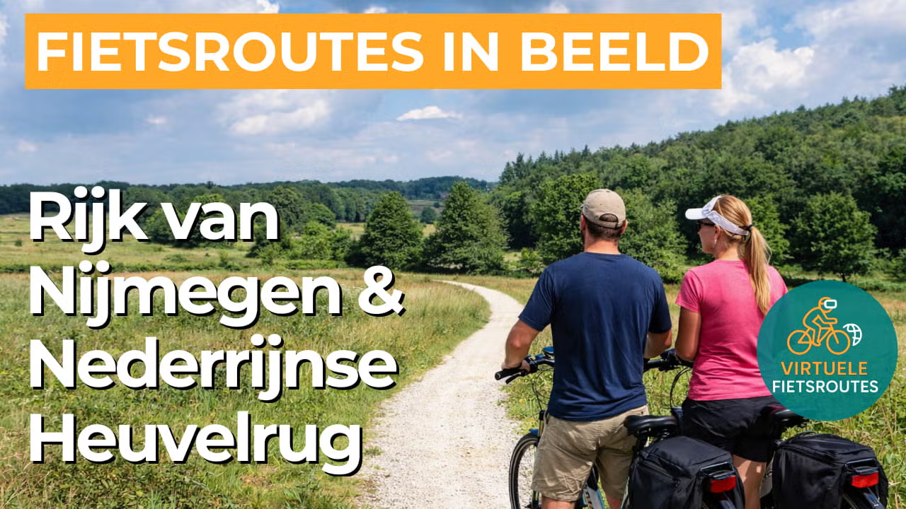
Cycling route Rijk van Nijmegen and Lower Rhine Heights
Cycling through a rolling natural and cultural landscape of stately beech avenues, dense forests, purple heathlands, quiet pools, sandy river dunes and species-rich arable fields.

The Landscape
The Rijk van Nijmegen is a varied region where elevation and history come together, from the glacial ridge near Groesbeek to open fields and sheltered woodland edges. You cycle through a landscape where beech avenues, heathland and deciduous forests alternate in a gentle rhythm, with wet hollows and seepage zones enriching the greenery.
The Lower Rhine Heights forms the backbone of the route, created during the penultimate ice age when advancing ice pushed up sand and gravel into hills, valleys and steep slopes. In this varied terrain, heritage and nature come together, with old avenues, burial mounds, traces of land reclamation and stories that extend across the border into the Reichswald.
What You’ll Discover Along the Way
In the Groesbeekse Bos and on the Mookerheide, you cycle through dense forests, beech avenues and open heathlands, with pools and quiet sandy paths naturally alternating. Thanks to its location on the glacial ridge, the view is constantly changing, with glimpses of fields and woodland edges extending towards the Reichswald.
Landgoed Mookerheide brings nature and culture together, with the Mookerheide hunting lodge as a recognisable focal point in the greenery. Old avenues, park woodland and historic features such as earthworks add depth to this part of the route, so you are not only cycling through a landscape, but also through time.
At the foot of the glacial ridge, seepage and small watercourses create surprisingly wet areas, with marshland such as De Bruuk forming a strong contrast with the higher sandy grounds. At the same time, water remains present throughout the Rijk van Nijmegen, where streams, low-lying areas and river influences continue to shape the landscape.
The route owes its character to the Lower Rhine Heights, a glacial ridge that creates real elevation changes and long, rolling lines around Groesbeek. You ride along ridges and through small valleys with regular panoramic views, making this part of Gelderland feel strikingly different from the flat river landscape surrounding it.
Ride along with us on this virtual bike tour
Virtual cycling through the Rijk van Nijmegen and the Lower Rhine Heights lets you experience the varied, rolling landscape around Groesbeek, with glacial ridges, beech avenues, deciduous forests and open fields that continually alternate. The route feels natural and diverse, with quiet roads and wide views that help maintain a steady, comfortable pace on the hometrainer.
Along the way, heathlands, quiet pools and wet seepage zones add extra variety, while estate avenues and recognisable places such as the Mookerheide give the area its character. Thanks to this mix of nature and heritage, this is a virtual cycling route that both relaxes and continues to engage, from woodland edge to hillside and towards the border landscape.
Want to learn more about virtual cycling? THIS IS HOW VIRTUAL CYCLING WORKS
Route map and cycling junctions
Start and finish at cycling junction 47 on the Heumensebaan in Molenhoek. Because this is a circular route, you can also start at one of the other cycling junctions along the route.
Distance: 53 km
Estimated riding time: 3 hours 32 minutes
Elevation gain: 193 m
Paved roads: 77%
Unpaved / semi-paved: 23%
Ideal for: e-bikes and city bikes
Along the way: several options for a coffee break or lunch.


