
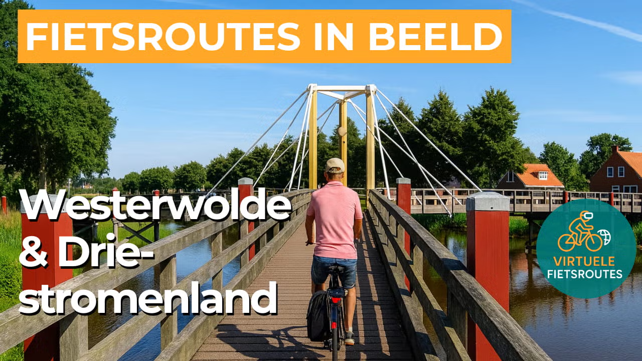
Cycling route Westerwolde and Driestromenland
Cycling through a varied landscape of meandering streams, gentle rolling terrain, flower-rich hay meadows and grasslands, ancient hedgerows, and historic farmhouses.
The Landscape
Westerwolde feels like a different world within Groningen. Not the straight lines of the polders, but picturesque stream valleys, winding roads and a green mosaic of arable fields, hay meadows, grasslands, hedgerows and ancient woodlands. Villages, hamlets and distinctive farmhouses give the route a timeless character, while the foundations of this landscape date back to the last ice age.
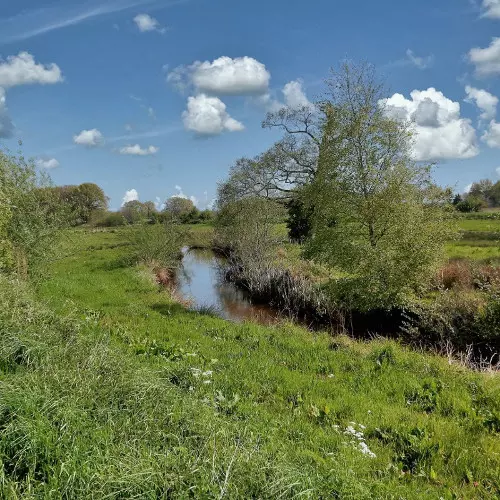
In the Driestromenland, the water landscape quite literally comes together. The Ruiten Aa, the Mussel Aa and the Veelerdiep meet in an area that for centuries was wet and inaccessible, with small streams slowly draining the water. From the early Middle Ages onwards, farmsteads and fields developed on the higher ground, creating an intimate cultural landscape of winding streams, flower-rich hay meadows, marsh woodlands and historic farmhouses.
What You’ll Discover Along the Way
In Westerwolde, you cycle along quiet woodland edges and species-rich stretches of forest around the Ruiten Aa, where the greenery feels dense and sheltered. A little further on, the landscape opens up to heathland and former heath reclamation areas such as Jipsinghuizerveld and Sellingerbeetse, with longer sightlines and a greater sense of openness.
Around the villages and their communal fields, hay meadows and grasslands alternate, often framed by hedgerows, tree lines and small woodlands. It is precisely this small-scale pattern that makes the route so varied, with ever-changing views across the stream valley and recognisable farmsteads in the open landscape.
In the lower parts of the stream valleys lie wet grasslands, pools and marshy stretches where water and reeds set the tone. Here you ride through the transition zone towards peat and marshland, with damp edges and rough vegetation that give the landscape a natural, bird-rich feel.
The Driestromenland owes its name to the confluence of the Ruiten Aa, the Mussel Aa and the Veelerdiep, with water appearing throughout the landscape. Near Wedde, these streams come together to form the Westerwoldse Aa, with meanders, small bridges and banks that give the route a calm, rhythmic flow.
Ride along with us on this virtual bike tour
Virtual cycling through Westerwolde and Driestromenland lets you experience from home the green, gently rolling landscapes of Groningen, with stream valleys, hedgerows and ancient woodlands along quiet roads. In the video, you pass flower-rich hay meadows and grasslands and ride past characteristic farmhouses and es villages.
Water forms the common thread, as the Ruiten Aa, Mussel Aa and Veelerdiep shape the landscape with their meanders, small bridges and green banks. Perfect for relaxed kilometres on the hometrainer or for exploring the route in advance.
Want to learn more about virtual cycling? THIS IS HOW VIRTUAL CYCLING WORKS
Route map and cycling junctions
Start and finish at cycling junction 56 on the Veelerveensterweg in Veelerveen. Because this is a circular route, you can also start at one of the other cycling junctions along the route.
Distance: 47 km
Estimated riding time: 3 hours 8 minutes
Elevation gain: 114 m
Paved roads: 81%
Unpaved / semi-paved: 19%
Ideal for: e-bikes and city bikes
Along the way: several options for a coffee break or lunch.


