CYCLING ROUTE · GRONINGEN
Cycling Route National Park Lauwersmeer
Cycling through a rugged, open nature area of reed beds, flower-rich grasslands, young deciduous woodlands, sand and clay flats, and broad water bodies.
The Landscape
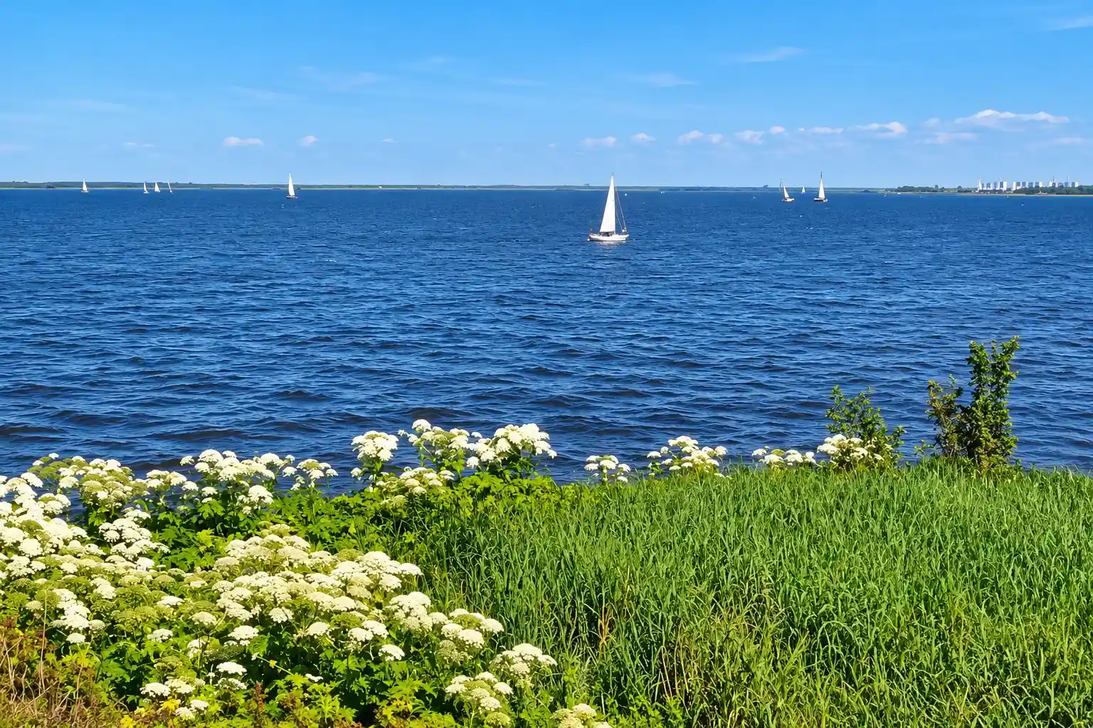
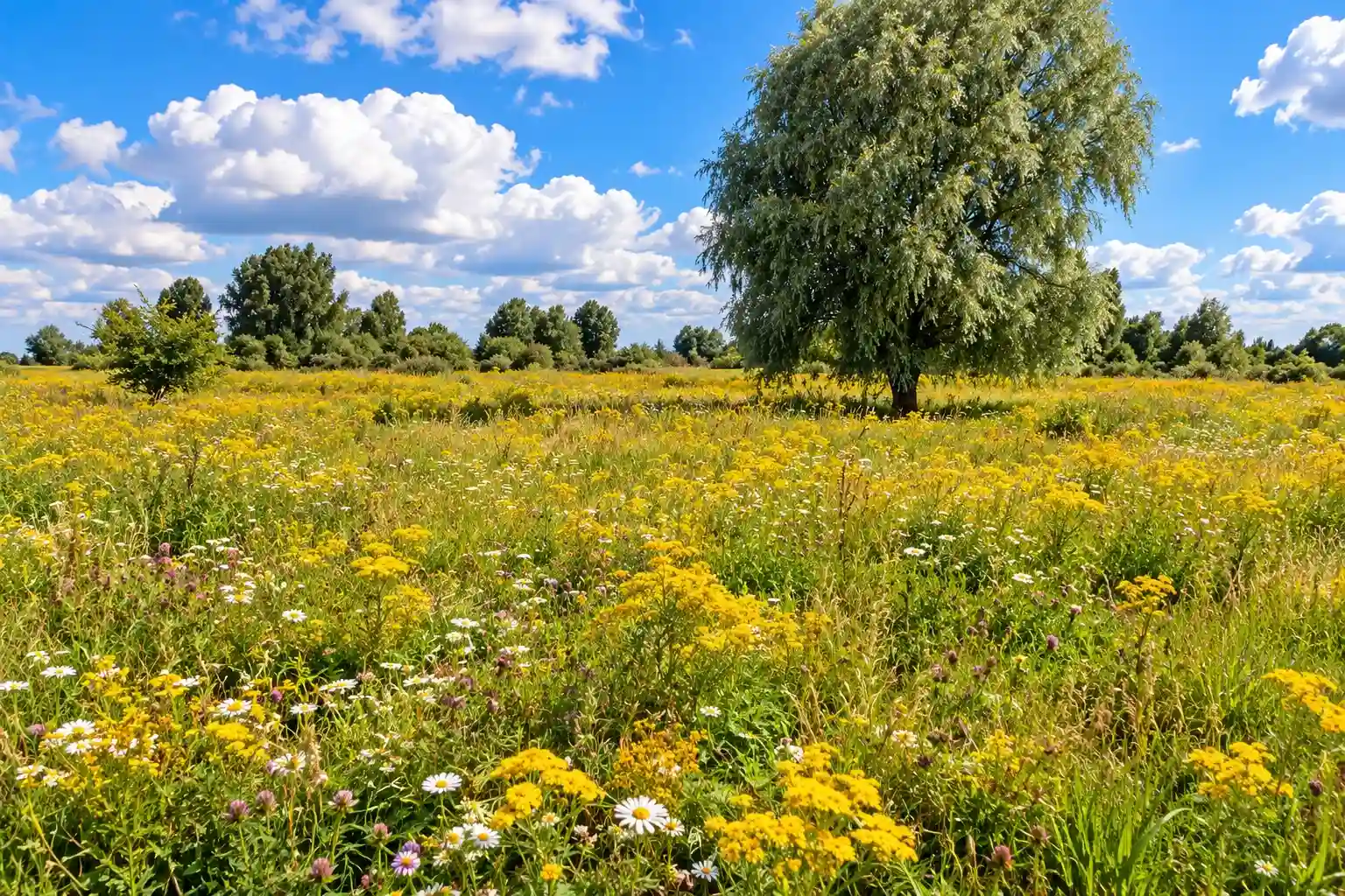
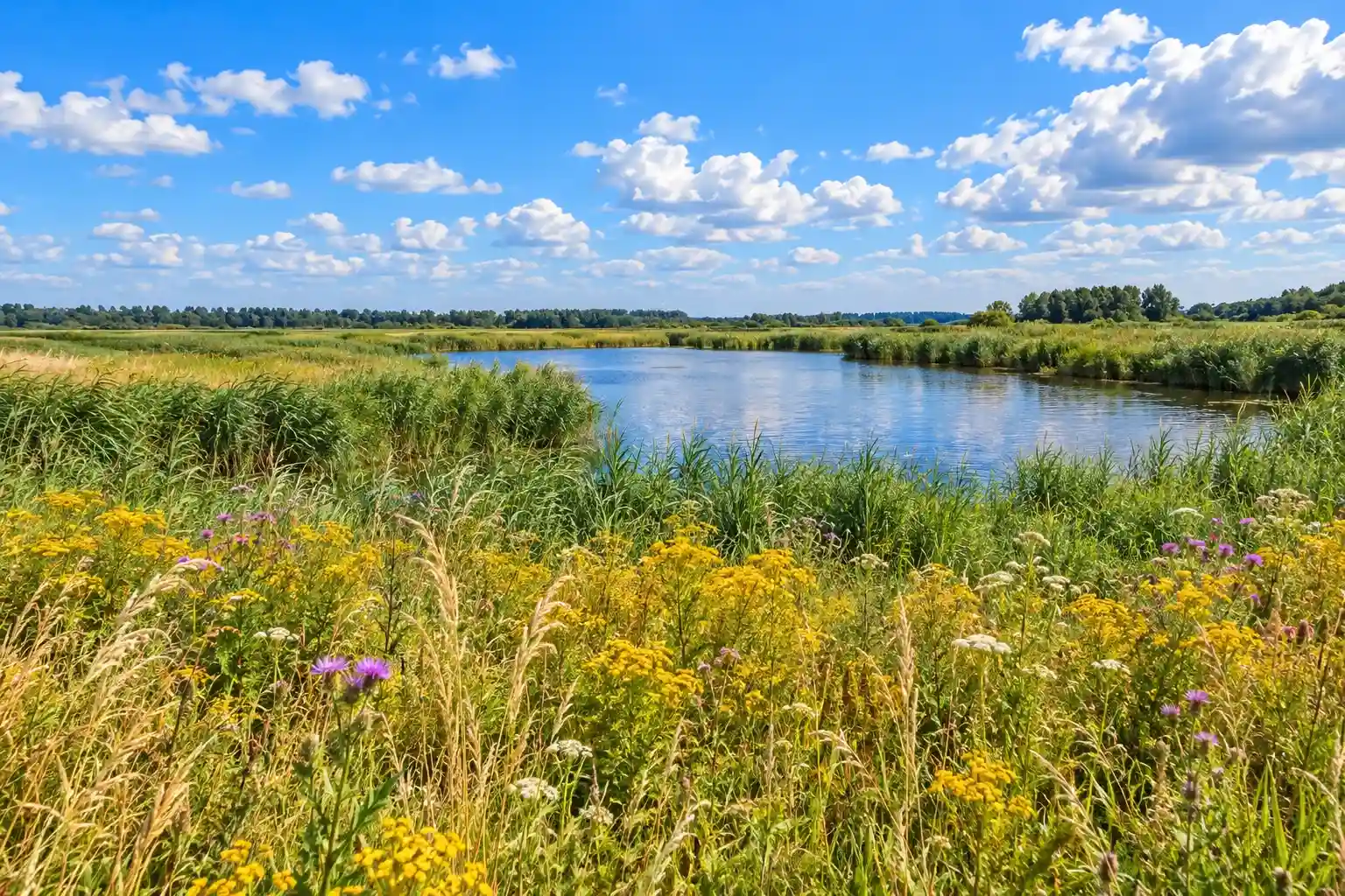
National Park Lauwersmeer lies on the border of Groningen and Friesland, just behind the Wadden Sea. Since the Lauwerszee was closed off in 1969, the former brackish tidal inlet has developed into a vast freshwater landscape. Today, shallow waters, reed beds, wet grasslands and vegetated flats create a rugged and open natural area where nature and birdlife flourish.
Along the route, wide-open views alternate with sheltered woodland sections, while dikes, waterways and polder lines reveal the area's history of water management and nature development. The Lauwersmeer is also one of the best places in the Netherlands for birdwatching, with species such as the White-tailed Eagle and Eurasian Spoonbill. At night, the area's exceptional darkness becomes apparent, as the national park is officially designated as a Dark Sky Park.
What You'll Discover Along the Way

Forests and Heaths
Young deciduous woodlands on the former seabed create sheltered sections, especially around the Diepsterbos, with views across reed beds and wet grasslands.

Coastal and Tidal Zone
Near Lauwersoog and Zoutkamp, dikes, salt marshes and open views connect the route with the Wadden Sea and its coastal landscape.

Polders and Farmlands
Straight roads, drainage ditches, broad plots, arable fields and farmsteads create an orderly polder landscape with long sightlines.

Lakes and Wetlands
Shallow waters, reed beds, wet grasslands and vegetated flats form the heart of the Lauwersmeer landscape and provide an important habitat for birds.
Virtual Cycling Through National Park Lauwersmeer
Virtual cycling through National Park Lauwersmeer lets you experience the rugged border landscape of Groningen and Friesland from home, with reed beds, wet grasslands and wide views over shallow waters. The route continues through young deciduous woodlands and along quiet roads, while open water, vegetated flats, dikes and polder landscapes create constant variation along the ride.
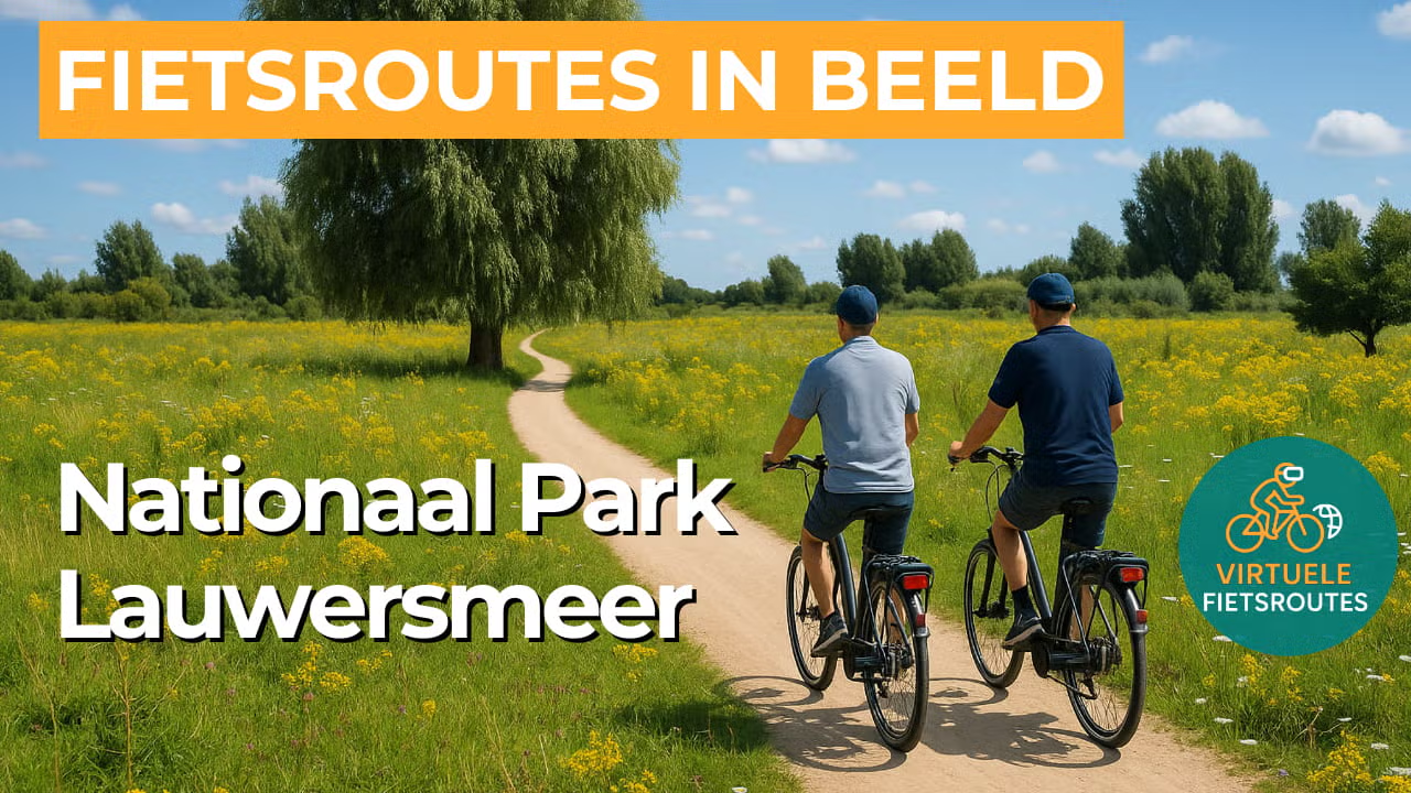
Experience the route from home with virtual cycling.
Route Map and Cycling Junctions
Start and finish near cycling junction 89 on the Strandweg in Zoutkamp. Because this is a circular route, you can also start at one of the other cycling junctions along the route.
Route Details
Along the way: several options for a coffee break or lunch.
Discover More Cycling Routes
Explore more Groningen landscapes and find your next cycling adventure in nature.
EXPLORE ALL CYCLING ROUTES IN GRONINGEN →