
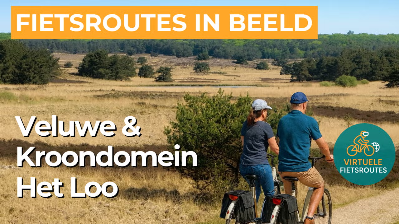
Cycling route National Landscape Veluwe and Kroondomein Het Loo
Cycling through an impressive Veluwe landscape of forests, heathlands, drifting sands, and stream valleys, interwoven with stately avenues, country estates, and open farmland.

The Landscape
National Landscape Veluwe forms the heart of the Veluwe massif in Gelderland and is the largest continuous forest area in the Netherlands. You cycle through a landscape shaped by the Ice Age and later transformed by heathland management, forestry, springs, streams, and ancient routes through the sand.
Kroondomein Het Loo adds a royal atmosphere to the landscape, with long avenues, game trails, and quiet forest sections that have been connected to the House of Orange for centuries. Around Paleis Het Loo, cultural heritage and nature lie side by side, while along the route you may also spot red deer and wild boar. In autumn, parts of the area may be temporarily closed to give wildlife the peace it needs.
What You’ll Discover Along the Way
You ride through vast coniferous and deciduous forests and cross open heathlands where the light has free rein. Narrow paths and broad sandy tracks alternate throughout the route, creating a ride that constantly feels different while remaining peaceful. With a bit of luck, you may spot wildlife along the forest edge or hear woodpeckers among the pines.
The straight avenues and historic hunting roads give this cycling route a stately rhythm and create long sightlines through the greenery. You notice how nature and history come together here in ancient reclamation landscapes, burial mounds, and distinctive Veluwe heritage features. This makes every kilometre not only beautiful, but also rich in stories.
Where the forest gives way to the surrounding countryside, fields, meadows, and small farmsteads open up into wide views. It is precisely this contrast between enclosed woodland and open land that makes the cycling varied and enjoyable, especially at a relaxed pace. On clear days, the landscape here feels remarkably spacious.
Here, the Veluwe is gently rolling, with subtle climbs and soft descents that give the route extra character. You cycle over sandy ridges and through low-lying areas where streams and wet zones bring more greenery and coolness. As a result, the landscape constantly changes along the way.
Ride along with us on this virtual bike tour
Virtual cycling through the National Landscape Veluwe and the Kroondomein Het Loo lets you experience the Veluwe as if you were riding there yourself, passing endless forests, open heathlands, and sandy avenues with long sightlines. In the video, you follow quiet cycling paths through a varied landscape of springs, stream valleys, and silent forest edges, each season bringing its own atmosphere.
Along the way, you experience the stately character of Kroondomein Het Loo, with historic routes and distinctive Veluwe heritage features that connect nature and history. This virtual cycling route is ideal for relaxing at home, exploring new routes, or enjoying a ride through the heart of the Veluwe landscape on your indoor trainer.
Wil je meer weten over virtueel fietsen? ZO WERKT VIRTUEEL FIETSEN
Route map and cycling junctions
Start and finish near cycling junction 38 on the Pomphulweg in Hoog Soeren. Because this is a circular route, you can also start at one of the other cycling junctions along the route.
Distance: 51 km
Estimated riding time: 3 hours 24 minutes
Elevation gain: 189 m
Paved roads: 64%
Unpaved / semi-paved: 36%
Ideal for: e-bikes and city bikes
Along the way: several options for a coffee break or lunch.


