
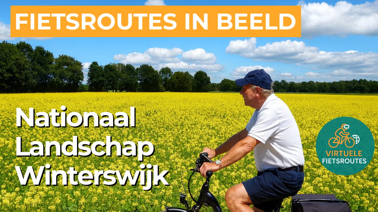
Cycling route National Landscape Winterswijk
Cycling through a historic rural landscape with organic farmland, flower-rich meadows, ancient hedgerows, quiet heathlands, and meandering streams.
The Landscape
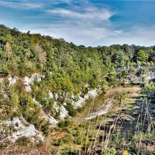
National Landscape Winterswijk covers nearly 22,000 hectares and is one of the most distinctive parts of the Achterhoek region. In the narrow stream valleys, ancient brooks have preserved their winding courses, forming green ribbons through the landscape. Centuries of relative isolation allowed Winterswijk to develop its own unique and recognizable scenery, with remarkable variety within a short distance.
The semi-open landscape consists of a mosaic of small cultivated fields, gently rolling raised fields, tree-lined lanes, and hedgerows that continually frame the views. Traditional manor farms and historic farmsteads tell the story of the wealthy farming families whose land management and reclamation shaped the region. This created the patchwork landscape that remains so characteristic of Winterswijk today, with fields and meadows alternating with woodlands, streams, and ancient paths.
What You’ll Discover Along the Way
You cycle past forest edges, hedgerows, and open stretches of countryside, causing the landscape to constantly change in colour and atmosphere. On the sandy higher grounds and near wet lowlands, remnants of heathland appear, ranging from dry heath to wet heath rich in biodiversity.
Traditional manor farms, characteristic farmhouses, and stately homes still serve as landmarks in the countryside. Country estates and historic scholten estates connect fields, meadows, and woodlands into a cohesive green network where nature and cultural history blend seamlessly together.
Korenburgerveen reveals just how special the peat landscape is here, with fens, wet heathlands, swamp forests, and species-rich bluegrass meadows. Wooldse Veen is another compact and rare raised bog area, recognizable by its peat pits, peat dikes, and carr woodlands.
Streams set the rhythm of the route, carving stream valleys like green veins through the rural landscape. In Bekendelle, the Boven Slinge meanders through ancient streamside woodland, creating a route section full of contrast, shade, and life.
Ride along with us on this virtual bike tour
Virtually cycling through the National Landscape Winterswijk lets you experience the famous patchwork landscape, with hedgerows, flower-rich meadows, and winding country lanes that continually reveal new views. You ride past historic scholten farms and small-scale fields, where nature and heritage come together in a peaceful rhythm.
Along the way, you follow the green lines of stream valleys and meandering brooks, with a varied landscape of forest edges, remnants of heathland, and open raised fields. In this way, you discover Winterswijk as a compact yet surprisingly diverse landscape, ideal for a relaxing virtual cycling experience from home.
Want to learn more about virtual cycling? THIS IS HOW VIRTUAL CYCLING WORKS
Route map and cycling junctions
Start and finish at cycling junction 8 on the Waliënseweg in Winterswijk. Because this is a circular route, you can also start at one of the other cycling junctions along the route.
Distance: 54 km
Estimated riding time: 3 hours 31 minutes
Elevation gain: 87 m
Paved roads: 71%
Unpaved / semi-paved: 29%
Ideal for: e-bikes and city bikes
Along the way: several options for a coffee break or lunch.


