
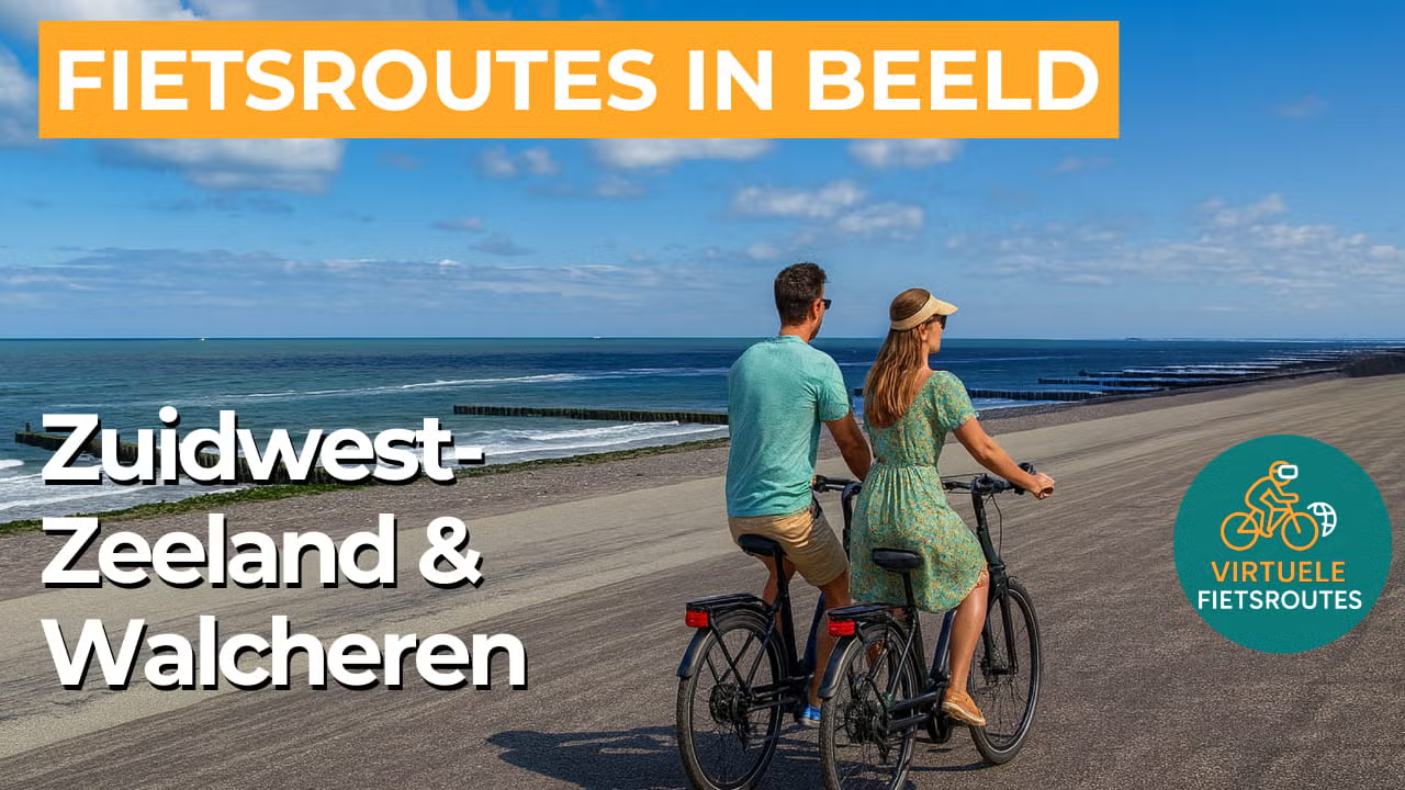
Cycling route National Landscape Zuidwest-Zeeland and Walcheren
Cycling through a varied coastal landscape with wide beaches, high dunes and sturdy sea dikes, alternating with motte mounds, oak forests and characteristic Zeeland hedgerows.

The Landscape
The National Landscape Zuidwest-Zeeland is an area where centuries of struggle and cooperation with the water remain clearly visible. Floods, land reclamation and sedimentation shaped a landscape of dikes and polders, interwoven with creeks, channels and green field boundaries that give structure to the open countryside.
Walcheren once truly felt like an island, and that atmosphere can still be sensed in the openness, the light and the constant presence of the sea. From the dunes and sea dikes, you look out across the North Sea and the Western Scheldt, where large ships pass close to the coastline, while further inland farmlands, villages and stately country estates follow one another in a calm rhythm.
What You’ll Discover Along the Way
Behind the coastal strip, you cycle through sheltered woodland edges with ancient oaks and winding paths that soften the wind and give the landscape an intimate character. On the drier, sandy sections, these green zones gradually merge into dune scrub and low vegetation, creating a constant transition between shade, openness and panoramic views.
Walcheren is rich in country estates and manor grounds, recognisable by their entrance avenues, historic field boundaries and park like woodland sections. Along the way, you also encounter motte mounds and other ancient traces of settlement, while towns such as Veere, Middelburg and Vlissingen bring the story of trade, fortifications and maritime history vividly to life.
The coast forms the rugged backdrop of this route, with rows of dunes, wide beaches and sea dikes that constantly expand your view. On clear days, you can see the shipping traffic on the Westerschelde from the dike and experience the contrast between the calm interior of Walcheren and the dynamism of sea and tide.
Further inland, the classic Zeeland pattern of dikes, fields and long straight lines unfolds, shaped by land reclamation and the gradual formation of new land. Between the farmlands and meadows lie remnants of tidal creeks and Zeeland hedgerows as green borders, constantly revealing new views across the wide open polder landscape.
Ride along with us on this virtual bike tour
Virtual cycling through the National Landscape Zuidwest-Zeeland and Walcheren lets you experience the true Zeeland coastal atmosphere, with wide beaches, high dunes and robust sea dikes offering sweeping views across the Westerschelde. As you continue cycling, open horizons alternate smoothly with sheltered stretches of oak forests and dune scrub.
Further inland, polders, tidal creek remnants and characteristic Zeeland hedgerows follow in long, peaceful lines that are ideal for maintaining a steady pace. Along the way, you also experience a touch of history through motte mounds, country estates and the atmosphere of towns such as Veere, Middelburg and Vlissingen.
Want to learn more about virtual cycling? THIS IS HOW VIRTUAL CYCLING WORKS
Route map and cycling junctions
Start and finish near cycling junction 81 at the Galgeweg in Koudekerke. Because this is a circular route, you can also start at one of the other cycling junctions along the route.
Distance: 50 km
Estimated riding time: 3 hours 19 minutes
Elevation gain: 158 m
Paved roads: 85%
Unpaved / semi-paved: 15%
Ideal for: e-bikes and city bikes
Along the way: several options for a coffee break or lunch.


