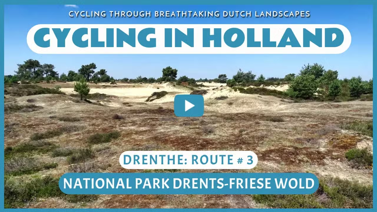
National Park Drents-Friese Wold
Cycling through a varied landscape of dense forests, expansive heathlands, shifting sands, tranquil fens, and lush stream valleys.

The Landscape
With over 6,000 hectares of forests, heathlands, ponds, shifting sands, and stream valleys, the National Park Drents-Friese Wold is one of the largest continuous nature areas in the Netherlands. For around five thousand years, people have shaped the landscape along the border of Drenthe and Friesland. From Diever to Appelscha, they cut trees, dug ditches, grazed sheep, planted crops, and harvested hay, while wind and water did their part too. Remarkably, the characteristic village landscape with open fields and hedgerows around the park has remained largely untouched.
The Drents-Friese Wold has a rich history that stretches back to the Iron Age. Traces of early inhabitants, such as a prehistoric dolmen and ancient burial mounds, stand as silent witnesses to centuries of human presence. Over time, the landscape evolved into a patchwork of open fields, vast heathlands, and small woodlands where sheep once roamed freely. In the 19th century, forests were planted in various places to halt the drifting sands. Today, these forests, together with the heath and farmlands, form a beautifully varied natural area. The characteristic villages, with their historic field patterns and old hedgerows, lend the region an authentic charm that warmly invites visitors to explore.

Forests and Heaths

Polders and Farmlands

Marshes and Peatlands"

Rivers and Streams
Route map
Start and finish near bike node 83 on the Terwisscha in Appelscha. However, this bike route is a circular tour, so it offers the possibility to start from any of the following bike nodes.
83 - 85 - 88 - 82 - 23 - 33 - 21 - 12 - 43 - 25 - 27 - 24 - 14 - 59 - 68 - 67 - 53 - 38 - 39 - 63 - 91 - 83
- 87% of the route runs on paved roads.
- 13% of the route runs on unpaved and semi-paved paths.


