CYCLING ROUTE · GELDERLAND
Cycling Route Around National Park De Hoge Veluwe
Cycling through an impressive Veluwe landscape of mixed forests, wet and dry heathland, open grasslands and dynamic drifting sands.
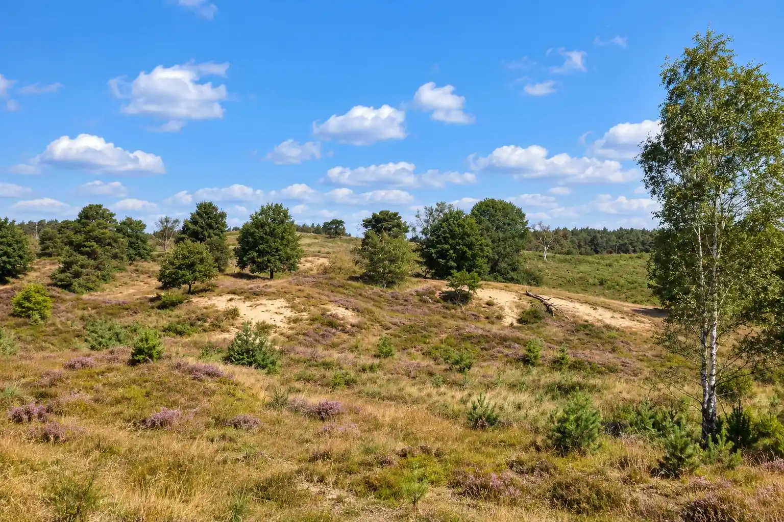
The Landscape
National Park De Hoge Veluwe covers 5,400 hectares and forms the green heart of the Veluwe between Otterlo, Hoenderloo and Ede. Heathlands, drifting sands and forests alternate across a gently rolling landscape shaped by nature, estate history and careful management.
Since 1906, Anton and Helene Kröller-Müller developed the area into a unique combination of nature, art and culture. Beyond the park, the landscape gradually changes into open heathland and drifting sands, while towards Ede and Arnhem forests, avenues, fields and meadows create a softer cultural landscape.
What You'll Discover Along the Way

Forests and Heaths
Mixed forests and open heathland alternate with wide sandy tracks and quiet forest lanes, creating the characteristic Veluwe landscape of shelter, space and long views.

Estates and Heritage
Historic avenues and estate landscapes reflect the area's unique history, with highlights such as Jachthuis Sint Hubertus and the Kröller-Müller Museum adding culture to the natural surroundings.

Polders and Farmlands
Beyond the forest edge, meadows and farmland open towards Ede and Arnhem, creating a clear contrast with the enclosed forests and expansive heathland.

Hills and Valleys
Sandy ridges and shallow valleys create gentle elevation changes, with subtle climbs and descents adding rhythm to the ride and revealing changing views across forest, heath and open countryside.
Virtual Cycling Around National Park De Hoge Veluwe
Experience the distinctive Veluwe landscape around National Park De Hoge Veluwe, with its mixed forests, wet and dry heathland, open grasslands and drifting sands. From Otterlo, the route takes you through a varied landscape of quiet forest lanes, sandy paths and open stretches, with gentle elevation changes adding a natural rhythm to the ride.
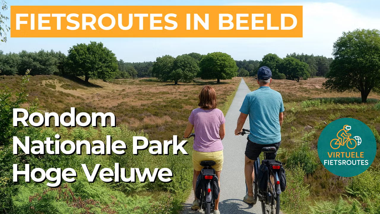
Experience the route from home with virtual cycling.
Route Map and Cycling Junctions
Start and finish near cycling junction 49 on the Hoenderloseweg in Otterlo. Because this is a circular route, you can also start at one of the other cycling junctions along the route.
Route Details
Along the way: several options for a coffee break or lunch.
Discover More Cycling Routes
Explore more Gelderland landscapes and find your next cycling adventure in nature.
EXPLORE ALL CYCLING ROUTES IN GELDERLAND →