
Cycling route Reiderland and Dollard
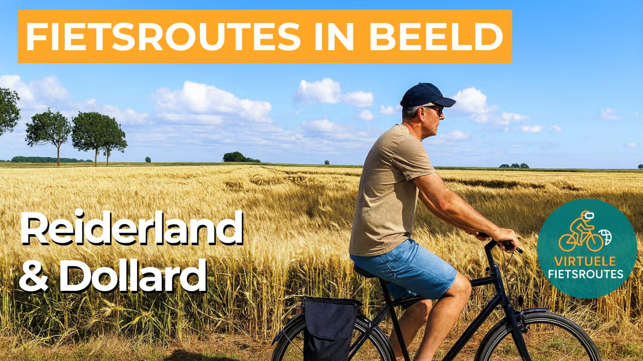
Cycling through an open, colourful coastal polder landscape with wide skies, red farmhouse roofs, and expansive views over grain fields and grasslands.

The Landscape
The Reiderland was a prosperous region in the late Middle Ages, but during the fifteenth and sixteenth centuries it lost large areas to the sea due to severe storm surges. From the sixteenth through the nineteenth century, the land was gradually reclaimed with dikes and polders, creating a flat landscape defined by long lines and an expansive horizon. Today, this is reflected in the fertile polders, where golden fields, green pastures, and the red roofs of manor farms combine to form a distinctly Groningen colour palette.
The Dollard is an estuary connected to the Wadden Sea, located on the border between the Netherlands and Germany. This tidal landscape consists of vast salt marshes, mudflats, and tidal flats that fall dry, with scenery that visibly changes by the day and with the seasons. Once a source of flooding, it is now largely a protected nature area where you mainly experience space, wind, and abundant birdlife.
What You’ll Discover Along the Way
Delfzijl gives the route a distinctly maritime character, with a rich harbour history and clear traces of water and trade. In places such as Termunterzijl and Drieborg, you ride through historic cultural landscapes along dike-lined roads, sluices, and characteristic buildings that give the region its own story.
Along the Dollard, you cycle along dikes with wide views over salt marshes and tidal flats, where shifting light and clouds constantly change the scene. Near Nieuwe Statenzijl lies the Kiekkaaste, a well-known viewpoint on the edge of the tidal area, ideal for spotting migratory birds in season.
The Reiderland feels expansive and orderly, with straight roads, broad plots, and fields that change colour with the seasons. Farmsteads, yards, and dikes stand out as fixed points in the open landscape, while the horizon continually shifts with the light.
Water is present everywhere, in ditches, drainage channels, and canals that keep the polder landscape dry and habitable. Small bridges, pumping stations, and waterways add variety along the route and show how strongly the landscape has been shaped by water management.
Ride along with us on this virtual bike tour
Virtual cycling through the Reiderland and the Dollard lets you experience the expansive coastal polder landscape from home, with long, straight roads, arable fields, and grasslands beneath the high Groningen sky. Red farmhouse roofs and wide views give the ride a calm, open character.
Along the Dollard, you cycle along dikes with views over salt marshes and tidal flats, where light and wind constantly reshape the landscape. Along the way, you pass waterways, pumping stations, and sluices that tell the story of the polders. Ideal for a relaxed indoor cycling session or to explore the route in advance.
Want to learn more about virtual cycling? THIS IS HOW VIRTUAL CYCLING WORKS
Route map and cycling junctions
Start and finish near cycling junction 91 at the Nieuw Statenzijl in Drieborg. Because this is a circular route, you can also start at one of the other cycling junctions along the route.
Distance: 53 km
Estimated riding time: 3 hours 32 minutes
Elevation gain: 67 m
Paved roads: 91%
Unpaved / semi-paved: 9%
Ideal for: e-bikes and city bikes
Along the way: several options for a coffee break or lunch.


