
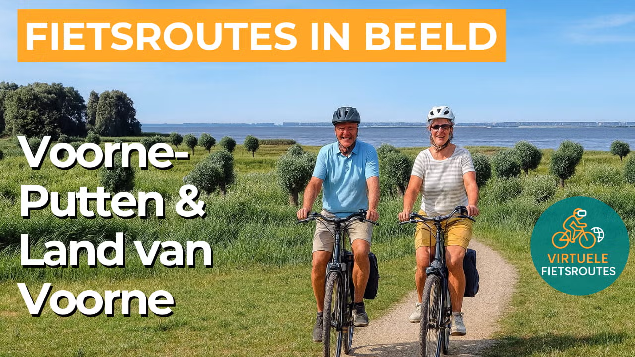
Cycling route Voorne-Putten and Land of Voorne
Cycling through a delta landscape of vast dunes, quiet polders, long dikes, winding creeks and water rich nature where sea and river meet.

The Landscape
Just beyond the largest port in Europe lies a green island, separated only by lakes, rivers, and canals, where peace and space shape the everyday view. The landscape of Voorne-Putten and the Land of Voorne are dominated by vast dunes and meadows, long stretches of dikes, winding creeks, and an abundance of water. A network of ditches, canals, and waterways cuts through the land, while the many sea and polder dikes stand as reminders of how the land was slowly reclaimed from the sea. From their elevated position, these dikes offer breathtaking vistas over the wide-open landscape.
The characteristic delta landscape of the Zeeland and South Holland islands truly comes to life in the southern part of the island. Here, the untamed dynamics of the delta still thrive, with creeks, mudflats, salt marshes, and reed beds allowing nature to follow its own course. At the heart of this landscape lies Hellevoetsluis, a town steeped in maritime history. Once the home port of the Dutch fleet, its imposing fortifications and the old dry dock bear witness to a time when ships made their final preparations here before embarking on distant journeys.
What You’ll Discover Along the Way
On Voorne-Putten, dune forests, open scrub edges and patches of dune heath alternate constantly, giving the route a changing atmosphere throughout. Around Voornes Duin, you cycle through greenery that feels surprisingly lush for a coastal landscape, with flower rich areas and sheltered paths where you can briefly escape the wind.
As soon as you reach the dunes near Rockanje, the North Sea feels close and the true island atmosphere becomes unmistakable, with light, open air and a wide horizon. Here, you cycle along beaches and dune edges where every bend reveals new views towards the sea.
Behind the dunes, the polders open into long stretches of grasslands, ditches and dikes, typical of the water rich landscape around Hellevoetsluis and the villages on the island. The quiet polder roads naturally create a steady pace, with wide open views and farmhouses standing like landmarks in the flat countryside.
The Oostvoornse Meer and the Brielse Meer give this cycling route on Voorne-Putten an open, water rich character, with broad shorelines and long sightlines that catch the light, while the Oostvoornse Meer feels almost unusually vast for the Netherlands. Along the Haringvliet, you cycle through quiet delta nature with reeds, mudflats and water birds, where you naturally slow down because there is always movement above the banks and within the shelter of the greenery.
Ride along with us on this virtual bike tour
Virtual cycling through Voorne-Putten and the Land van Voorne lets you enjoy a relaxing ride through a green delta landscape behind the Maasvlakte, with dunes, dikes, polders and creeks that constantly change the atmosphere. You follow quiet roads with wide open views and experience how water and land have shaped the rhythm of this area for centuries.
Along the way, the Oostvoornse Meer and the Brielse Meer come into view, with broad shorelines and long sightlines that catch the light. Along the Haringvliet, you experience quiet delta nature with reeds, mudflats and water birds, naturally encouraging you to slow down and take in even more of the surroundings.
Want to learn more about virtual cycling? THIS IS HOW VIRTUAL CYCLING WORKS
Route map and cycling junctions
Start and finish at cycling junction 23 on the Zuidfront in Hellevoetsluis. Because this is a circular route, you can also start at one of the other cycling junctions along the route.
Distance: 62 km
Estimated riding time: 4 hours 9 minutes
Elevation gain: 97 m
Paved roads: 96%
Unpaved / semi-paved: 4%
Ideal for: e-bikes and city bikes
Along the way: several options for a coffee break or lunch.


