
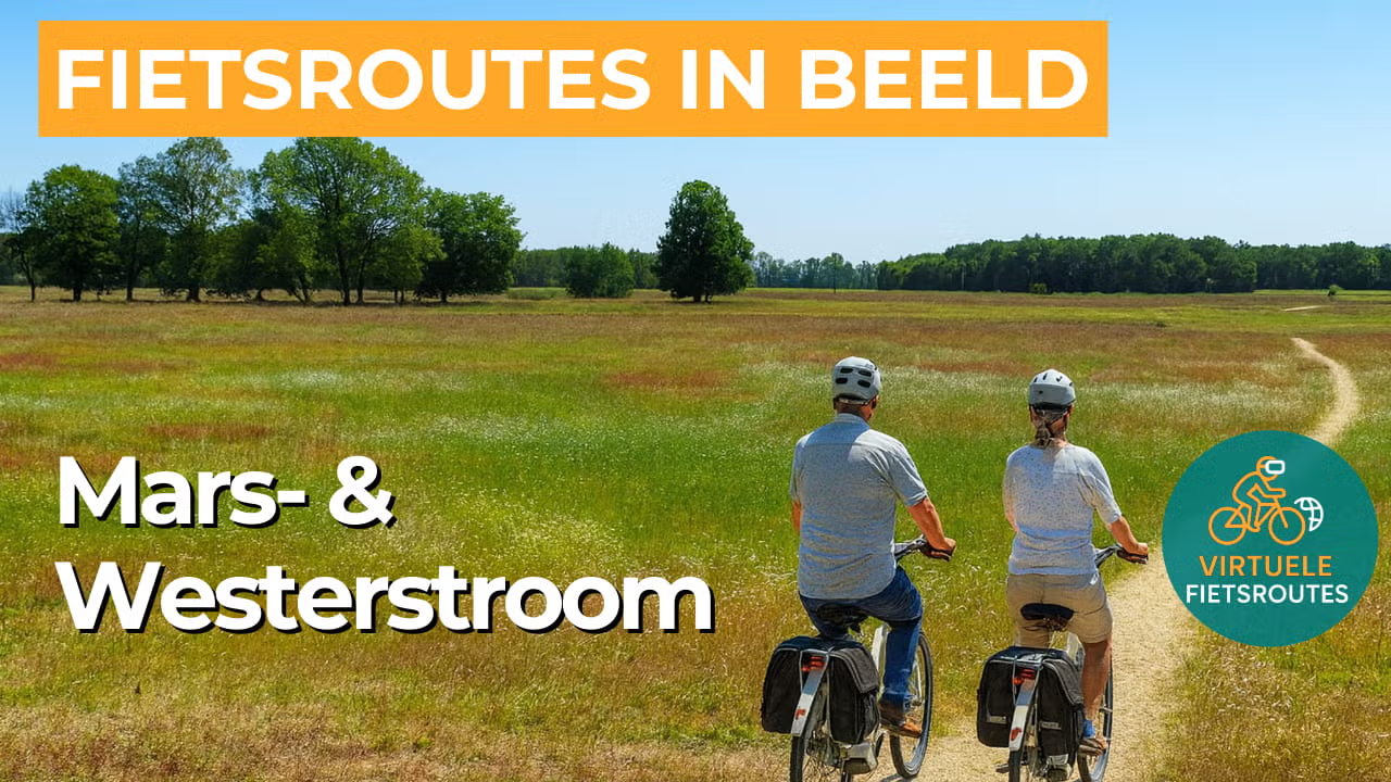
Cycling route Mars and Westerstroom
Cycling through a classic Dutch peatland landscape, featuring gently rolling fields, winding stream valleys, expansive grasslands, scattered groves, and rare remnants of raised bog.

The Landscape
This cycling route in the Coevorden area passes through the Mars- en Westerstroom, a characteristic Drenthe esdorpen landscape. Between Dalen, Gees, and Oosterhesselen, you cycle past higher sandy ridges with arable fields and lower stream valleys with grasslands and wet margins. The area is largely agricultural, with meadows, tree-lined hedgerows, small woodlands, and scattered trees creating variety and scenic views.
The Mars and the Westerstroom are historic streams that shape the landscape and frequently reappear along the route. You’ll notice the contrast between winding stream valleys and straight, tree-lined waterways, with narrow ditches dividing the fields. On the higher sandy ridges lie traditional esdorpen, historic villages surrounded by elevated arable fields known as essen, while the lower areas were historically used for hay and pasture. It is precisely this mix of small-scale stream valleys and more open reclaimed land that makes this cycling route near Coevorden peaceful, varied, and rich in wide views.
What You’ll Discover Along the Way
Along the route, you pass historic farmsteads, traditional farmhouses, and remnants of country estates. They reveal how the landscape around Coevorden has been used and inhabited for centuries.
Beyond the stream valleys, you cycle through open polders and agricultural landscapes with long sightlines. The regular field pattern and spacious layout create a clear, relaxed stretch of the route.
In the open peatland landscape, canals and drainage ditches shape the course of the route, with straight lines and open fields. The sense of space and quiet gives this section a calm atmosphere and clearly reveals the influence of water.
The Mars and the Westerstroom wind through the landscape as meandering streams, guiding parts of the route. Their flowing waters form the natural structure of this area.
Ride along with us on this virtual bike tour
Cycle along virtually through the Mars- en Westerstroom near Coevorden in Drenthe and experience this route at your own pace. In the video, you ride along winding stream valleys, across open land with long sightlines, and through Drenthe villages such as Dalen, Gees, and Oosterhesselen.
Along the way, you experience the peace and openness of the esdorpen landscape, with a varied mix of farmland, tree-lined hedgerows, and quiet country lanes. Ideal for virtual cycling on your home trainer, or for exploring the route in advance before heading out.
Want to learn more about virtual cycling? THIS IS HOW VIRTUAL CYCLING WORKS
Route map and cycling junctions
Start and finish near cycling junction 7 on the Hoofdstraat in Dalen. Because this is a circular route, you can also start at one of the other cycling junctions along the route.
Distance: 49 km
Estimated riding time: 3 hours 17 minutes
Elevation gain: 30 m
Paved roads: 96%
Unpaved / semi-paved: 4%
Ideal for: e-bikes and city bikes
Along the way: several options for a coffee break or lunch.


