Vecht Region and Eastern Vecht Lakes
Cycling through an ancient cultural landscape of meandering rivers, stately country estates, open meadows, and water-rich nature.

The Landscape
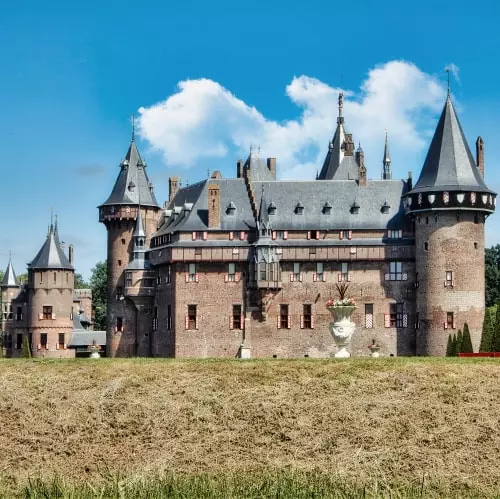
The Vecht region is one of the most distinctive landscapes in the Netherlands, where nature, cultural history, and recreation come together in perfect harmony. Along the meandering river Vecht, you will find stately mansions, historic estates, castles, lush gardens, and elegant tea pavilions that quietly reflect the grandeur of the Dutch Golden Age. In the 17th and 18th centuries, wealthy merchants and noble families from Amsterdam were drawn to this water-rich area to build their summer residences. For centuries, the river itself served as an important trade route between Utrecht and the Zuiderzee. The impressive fortifications of the New Dutch Waterline are also part of this landscape, reminding visitors of the strategic role water has always played in this region.
The Vecht region and Eastern Vecht Lakes together form a unique and quintessentially Dutch landscape of winding rivers, stately country estates, open meadows, and water-rich nature. To the west of the river lies a wide, open peat meadow landscape with long parcels of land, narrow canals, and old farmhouses. This area was reclaimed from peat centuries ago and still radiates the peace and quiet of the countryside. In the wet grasslands, meadow birds such as the black-tailed godwit and lapwing can be found nesting. On the eastern side of the river lies the water-rich nature reserve of the Oostelijke Vechtplassen. This landscape was shaped by centuries of peat extraction and now consists of a mosaic of lakes, reed beds, floating mat, peat pits, and wet woodlands. The mix of open water, marsh, grassland, and forest creates a rich and varied habitat for many plant and animal species.

Estates and Heritage

Marshes and Peatlands

Lakes and Wetlands

Rivers and Streams
Route map
Start and finish at bike node 47 on the Maarsseveense Poort in Maarssen. However, this bike route is a circular tour, so it offers the possibility to start from any of the following bike nodes.
47 - 62 - 45 - 79 - 46 - 57 - 18 - 40 - 59 - 17 - 11 - 94 - 96 - 31 - 8 - 63 - 6 - 62 - 89 - 36 - 37 - 18 - 31 - 78 - 33 - 51 - 76 - 25 - 2 - 84 - 85 - 23 - 27 - 49 - 48 - 73 - 47
- 94% of the route runs on paved roads.
- 6% of the route runs on unpaved and semi-paved paths.


