
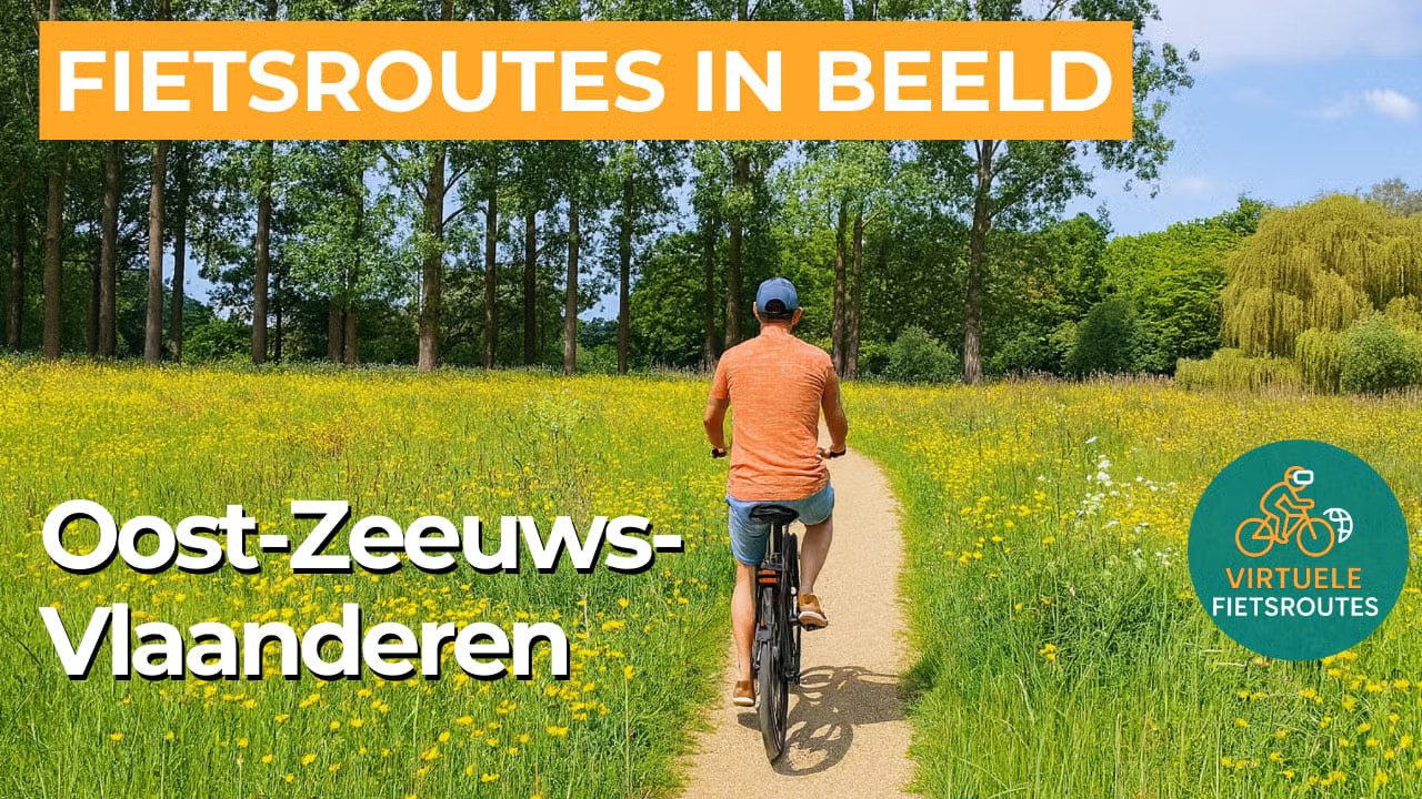
Cycling route Oost Zeeuws Vlaanderen
Cycle through a varied landscape featuring a centuries-old fortified town, winding creeks and channels, mixed forests and the largest brackish water wilderness in Europe.

The Landscape
Once, Oost Zeeuws Vlaanderen was a wet and marshy landscape cut through by countless creeks, where the sea and the Scheldt had free rein and the land changed with every tide. During the Eighty Years’ War, this region became the scene of intense battles between Dutch and Spanish forces, with large areas deliberately flooded. Many of today’s creeks and channels originated in that turbulent period, serving as quiet witnesses to a time when water was used as a weapon.
Today, the region forms a mosaic of historic creek remnants, expansive farmland, mixed forests and the rugged Verdronken Land van Saeftinghe. Without beaches and dunes, tourism remains more small scale than along the coast of West Zeeuws Vlaanderen, allowing for a greater sense of tranquility. At the same time, the fortified town of Hulst, Burgundian villages and distinctive delta nature give the route its own unique character.
What You’ll Discover Along the Way
Around Clinge, you cycle through the Clingse Bossen, a striking green area in Oost Zeeuws Vlaanderen with coniferous and deciduous woodland and open clearings that let the light filter through. Together with the Stropersbos just across the border in Belgium, this part of the route feels sheltered and quiet, with forest edges and winding paths offering ever-changing views. It is a section where virtual cycling feels especially immersive, as the landscape surrounds you while continuing to surprise.
In and around Hulst, the history of fortifications is still literally embedded in the landscape, with ramparts, bastions and gates giving the town its distinctive silhouette. A little further on, Saeftinghe tells the contrasting story of lost land, where flooded polders gave way to a wilderness of mudflats and salt marshes. Together, they make the route rich in heritage, from defensive lines to tidal landscapes.
Along the Western Scheldt, you experience not a dune coast but a rugged shoreline of dikes, wind and expansive water views that are constantly changing. The Verdronken Land van Saeftinghe is the highlight, an extensive brackish landscape where ebb and flow continually reshape the scenery. The combination of saline air and wide open space gives this part of the route a true delta atmosphere.
You cycle through open polders with straight dikes and long sightlines, interspersed with creeks that wind like shimmering ribbons across the land. Near Hengstdijk lies the Vogelkreek, once a tidal channel and now enclosed by dikes, clearly reflecting the history of water and land in the landscape. This polder rhythm makes the route easy to follow and calming, with subtle surprises appearing along the water.
Ride along with us on this virtual bike tour
Virtual cycling through Oost Zeeuws Vlaanderen takes you past the fortified town of Hulst and through a landscape of historic creeks, dikes and open polders where the horizon is always within sight. Along the way, quiet country roads alternate with water-rich views, making every kilometer feel different.
Further toward the Western Scheldt, the route takes on a rugged delta character with salty winds and wide water views stretching to the Verdronken Land van Saeftinghe. This blend of history, Burgundian villages and brackish nature makes the virtual cycling route both distinctive and authentic.
Want to learn more about virtual cycling? THIS IS HOW VIRTUAL CYCLING WORKS
Route map and cycling junctions
Start and finish at cycling junction 52 on the Van der Maelstedeweg in Hulst. Because this is a circular route, you can also start at one of the other cycling junctions along the route.
Distance: 58 km
Estimated riding time: 3 hours 53 minutes
Elevation gain: 38 m
Paved roads: 93%
Unpaved / semi-paved: 7%
Ideal for: e-bikes and city bikes
Along the way: several options for a coffee break or lunch.


