CYCLING ROUTE · SOUTH HOLLAND
Cycling Route Groene Hart and Nieuwkoopse Plassen
Cycling through a quintessential Dutch landscape filled with water, green meadows, swaying reed beds and endless panoramic views.
The Landscape
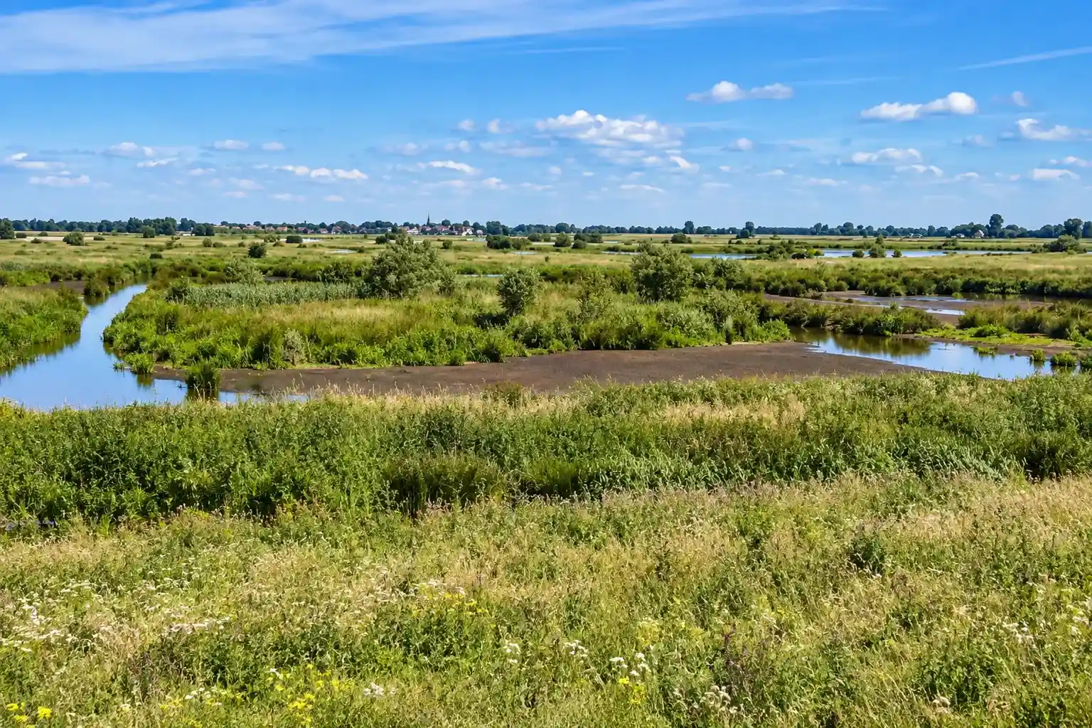
In the heart of the Netherlands lies the Groene Hart, an extensive peat and polder landscape surrounded by the country's major cities. Drainage ditches, dikes, peat meadows, and the characteristic pattern of long, narrow fields still reflect centuries of peat extraction, water management, and traditional land use.
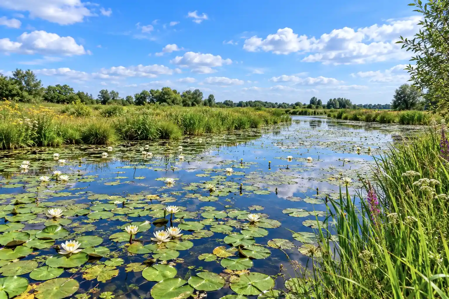
Around the Nieuwkoopse Plassen, peat extraction and land subsidence created a water rich mosaic of lakes, reed beds, and peatlands. The winding courses of the Meije and the Oude Rijn, together with abundant waterbirds, define this historic peat lake landscape in the heart of the Netherlands.
What You’ll Discover Along the Way

Polders and Farmlands
In the Groene Hart, you cycle past wide peat meadows with long narrow fields, small ditches and dikes that clearly define the landscape. Open panoramic views and farmhouses on the horizon create a quintessential Dutch atmosphere, especially where reed fringes soften the lines of the land.

Marshes and Peatlands
Around Nieuwkoop, the influence of peat and peat extraction is clearly visible in the low, wet grounds and reed filled edges. It is often remarkably quiet here, apart from the calls of waterbirds, creating a peaceful landscape where you naturally slow down and take in your surroundings.

Lakes and Wetlands
The Nieuwkoopse Plassen form the heart of the route, with open lakes, reed fringes and small islands creating a constantly changing waterscape. The area is one of the most bird rich and photogenic parts of the Groene Hart.

Rivers and Streams
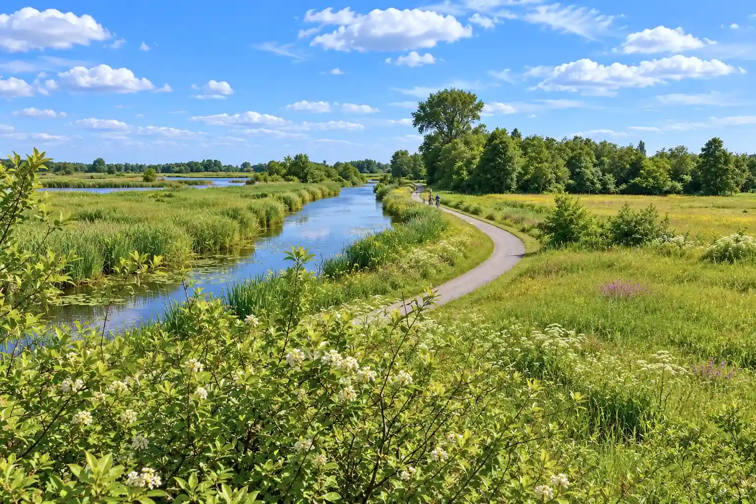
Winding waterways such as the Meije and the Oude Rijn give the route a natural flow, with embankments, small bridges and changing riverbanks. Together with the ditches and canals, they show how water management has shaped this landscape for centuries.
Virtual Cycling in the Groene Hart and the Nieuwkoopse Plassen
Experience the National Landscape Groene Hart with its peat meadows, drainage ditches, dikes, and expansive polder landscapes. The route follows the Nieuwkoopse Plassen, the Meije, and the Oude Rijn, showcasing the characteristic mix of lakes, reed beds, peatlands, and historic cultural landscapes.
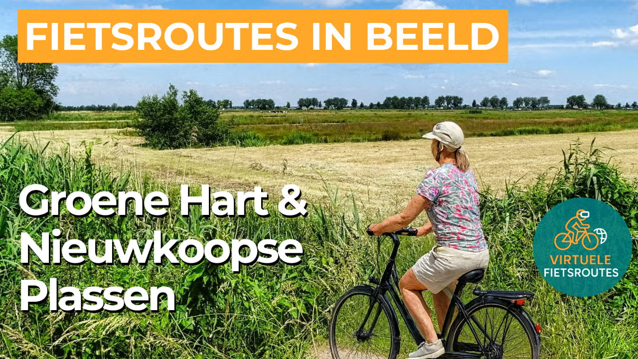
Experience the route from home with virtual cycling.
Route Map and Cycling Junctions
Start and finish near cycling junction 83 on the Noordenseweg in Nieuwkoop. Because this is a circular route, you can also start at one of the other cycling junctions along the route.
Route Details
Along the way: several options for a coffee break or lunch.
Discover More Cycling Routes
Explore more South Holland landscapes and find your next cycling adventure in nature.
EXPLORE ALL CYCLING ROUTES IN SOUTH HOLLAND →