
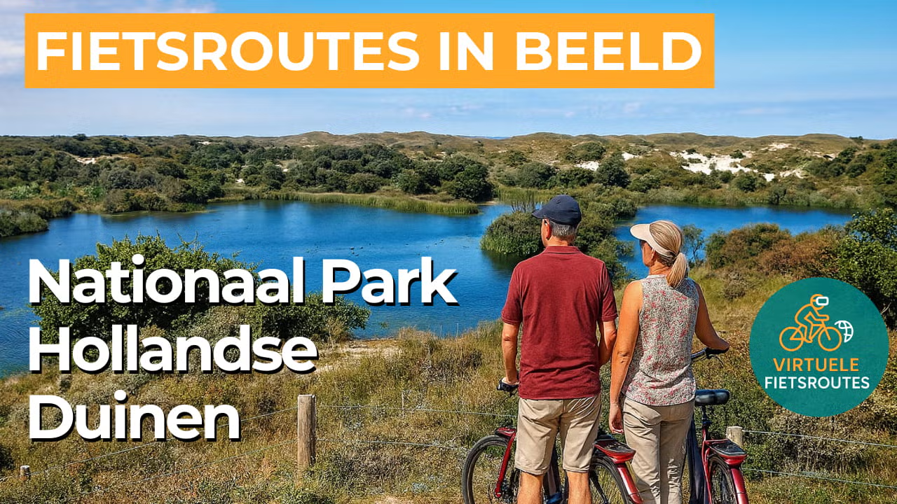
Cycling route National Park Hollandse Duinen
Cycling through a varied landscape of dunes, beach ridges, peat meadows, country estates and historic manor houses.
The Landscape
Around 6,000 years ago, this area was still covered by water, but today a surprisingly layered landscape stretches between the coast and the peat meadows. You cycle through a natural transition from beaches and dunes to beach ridges with forested country estates, open dune plains and finally the peaceful peat meadow landscapes in the east.
The higher beach ridges provided safe, dry ground for centuries and naturally became places of settlement, with farmhouses, villages and later also towns developing there. From the 17th century onwards, a network of country estates and manor houses emerged, where nature and culture blend seamlessly together through park woodlands, avenues and carefully designed sightlines. In the 19th century, many estates were merged into larger domains, allowing this green area to remain an accessible retreat despite the growth of the surrounding cities.
What You’ll Discover Along the Way
In Meijendel, you cycle through sheltered dune forests and open dune valleys, where light and wind constantly create a different atmosphere. Along the paths, grassy dunes, sandy stretches and rougher vegetation alternate, keeping this part of the route lively at all times. In summer, the dune vegetation in some areas takes on an almost heath like appearance that contrasts beautifully with the fresh greenery.
Along the inner dune edge of Wassenaar, country estates and manor houses follow one another, with park woodlands, old avenues and stately sightlines. Here, the route almost feels like cycling through one continuous landscape garden, where history remains visible in the structure of the greenery. Names such as De Paauw, Backershagen and De Horsten give this area a distinctive character that fits perfectly with the adjacent dunes.
Via dune paths and beach access routes, you reach the coast at the Wassenaarse Slag, where the North Sea and the broad dune front make an immediate impression. Here, wind, salt and open space take centre stage, with long sightlines that intensify the distinctive light of the Dutch dunes. Along the way, there are plenty of pleasant spots to pause for a moment and take in the rhythm of sea and beach.
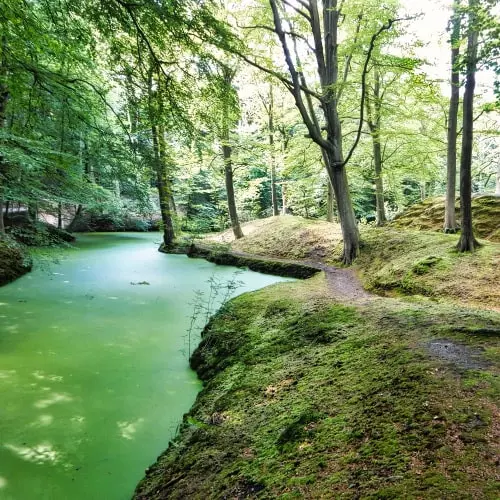
In the dunes of Meijendel, infiltration lakes shimmer brightly between the sand and greenery, giving the landscape a water rich character. You regularly enjoy open views across the water, with reed fringes and birds adding movement to the scenery. It is a peaceful part of the route where nature, water management and panoramic views come together naturally.
Ride along with us on this virtual bike tour
Virtual cycling through National Park Hollandse Duinen lets you experience the natural layers of the Dutch coast within a single route, from beaches and high dunes to sheltered dune forests and open dune valleys. The changing light, the wind and the wide panoramic views make every kilometre feel different, keeping the landscape constantly surprising.
Further inland, the route passes along beach ridges with historic country estates and manor houses, where avenues and park woodlands tell the story of centuries of settlement and recreation. Along the way, infiltration lakes and water rich dune panoramas provide tranquillity and variety, making it ideal for relaxed virtual cycling at your own pace from home.
Want to learn more about virtual cycling? THIS IS HOW VIRTUAL CYCLING WORKS
Route map and cycling junctions
Start and finish near cycling junction 92 on the Rietpolderweg in Leidschendam. Because this is a circular route, you can also start at one of the other cycling junctions along the route.
Distance: 53 km
Estimated riding time: 3 hours 31 minutes
Elevation gain: 151 m
Paved roads: 96%
Unpaved / semi-paved: 4%
Ideal for: e-bikes and city bikes
Along the way: several options for a coffee break or lunch.


