
Cycling route Staatsbossen and Peelrand
Cycle through a varied landscape of fragrant coniferous forests, open heathlands, tranquil fens, drifting sand dunes, winding streams and colourful fields.

The Landscape
The Peelrand is a fascinating transition landscape where elevated sandy soils gradually merge into the lower peatlands of East Brabant. Cover sand ridges, stream valleys and remnants of ancient peat areas create a landscape that constantly changes in character. Marshes, wet heathlands and peat soils once dominated this region before large-scale drainage and land reclamation transformed the area during the nineteenth century. Today, the landscape is a varied mosaic of forests, open fields and grasslands. Wet nature reserves and restored lowlands still reveal the original character of the Peel.
The Staatsbossen (state forests) around Sint Anthonis were created in the twentieth century to stabilise heathlands and drifting sands while supporting timber production. Today, the forests are more varied, with mixed woodland, open heathlands, sandy clearings and restored wet areas that give the landscape a greener and more natural character.
What You’ll Discover Along the Way
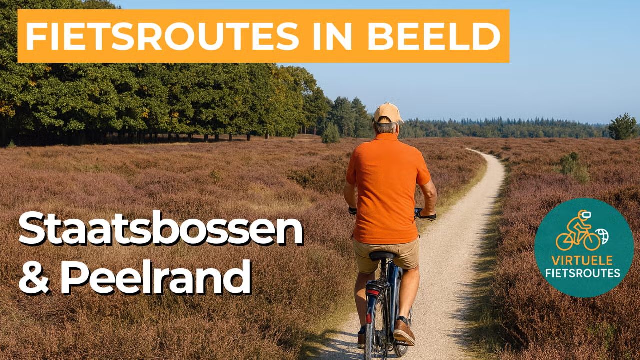
The Staatsbossen feel like a green maze of fragrant pine woods, wide forest paths and open heathland clearings where the wind moves freely across the landscape. Between the trees, small fens and sandy patches appear, giving the scenery a rugged and natural variety.
Along the Peelrand, you can see how the landscape was shaped by land reclamation, employment projects and the stabilisation of drifting sands through forest planting. Old sandy tracks, farmhouses and small chapels bring the quiet Brabant past vividly to life along the route.
As soon as you leave the forest behind, the landscape opens into colourful fields, grasslands and quiet rural roads lined with hedgerows as green borders. This contrast between wide open scenery and sheltered stretches makes this part of the route both relaxing and surprisingly varied.
In the lower-lying areas, ponds, pools and fens add extra atmosphere to the forest landscape, especially when the water reflects the sky. These wet areas attract birds and create brief moments of tranquillity in the heart of the greenery.
Ride along with us on this virtual bike tour
Virtual cycling through the Staatsbossen and Peelrand lets you enjoy long, peaceful forest paths through fragrant coniferous woods, alternating with open heathlands and sandy stretches where the landscape feels wide and spacious. Along the way, quiet fens and light green vistas between the trees create a natural atmosphere that perfectly suits relaxed indoor cycling.
This virtual cycling route around Sint Anthonis takes you along the characteristic transition from elevated sandy soils to the lower Peelrand, where fields, grasslands and forest edges alternate in rapid succession. Thanks to the variety in colours, textures and views, every kilometre feels different, as if you were truly cycling through the Brabant countryside.
Want to learn more about virtual cycling? THIS IS HOW VIRTUAL CYCLING WORKS
Route map and cycling junctions
Start and finish near cycling junction 96 on the Bosweg in Sint Anthonis. Because this is a circular route, you can also start at one of the other cycling junctions along the route.
Distance: 56 km
Estimated riding time: 3 hours 46 minutes
Elevation gain: 22 m
Paved roads: 74%
Unpaved / semi-paved: 26%
Ideal for: e-bikes and city bikes
Along the way: several options for a coffee break or lunch.


