
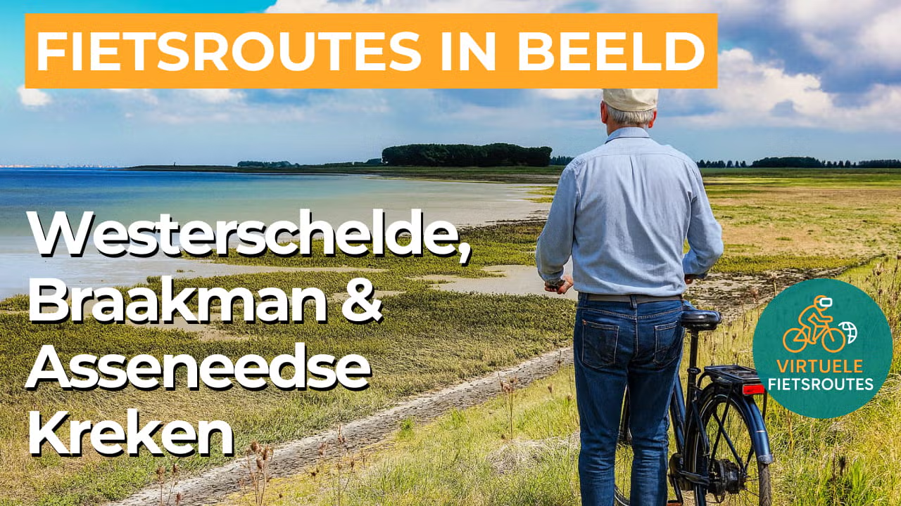
Cycling route Western Scheldt, Braakman and Asseneedse Kreken
Cycling through a peaceful polder landscape with salt marshes and mudflats, woodlands and scrub, centuries old tidal creek remnants and idyllic mussel villages.
The Landscape
The Western Scheldt is one of Europe’s largest estuaries, where the tides constantly reshape the landscape and the water gradually changes from fresh to salt. At low tide, vast sandbanks, mudflats and salt marshes emerge, together forming a rich habitat for plants, fish and birds. This continuous tidal movement creates a dynamic landscape filled with openness, light and motion.
The Braakman was once a sea inlet near Terneuzen and for a long time formed a natural divide within Zeeuws-Vlaanderen, with wetlands and tidal creeks crossing the land like veins. Along the sea dike lie deep and shallow waters, mudflats and salt marshes that today provide important resting and feeding grounds for countless bird species. Behind the dikes, locks, defence lines and forts tell the story of water management, defence and a landscape that had to endure through the centuries.
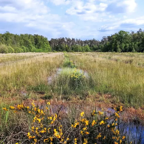
The Asseneedse Kreken form a remarkable network of tidal creeks between Assenede and the Belgian Dutch border, where water and land merge seamlessly together. You cycle past wet grasslands, reed beds and swamp forests, with pollard willows standing out as distinctive silhouettes along the banks. In some places, floating peat rafts drift like green islands on the water, giving the area a quiet, almost tranquil atmosphere.
What You’ll Discover Along the Way
In the Braakman area, you cycle through sheltered woodland strips with a mix of coniferous forest, deciduous woodland and light open clearings. Between the trees, reed fringes and small creeks appear, giving the landscape an intimate feel while still offering plenty of variety. It is in these sections that you truly experience the tranquillity of the greenery, with birdsong and a gentle wind moving through the treetops.
Along the Western Scheldt dike, you ride with open views across the tidal waters, where large seagoing ships slowly cross the horizon. The salty air and clear light give this section a true coastal atmosphere, even when you are mainly cycling along dikes and inland roads. The tides constantly create changing patterns across the mudflats and salt marshes along the edge of the estuary.
Between Terneuzen and the creek landscapes, a typical polder scenery unfolds with neatly divided fields, dike ribbons and long straight roads stretching towards the horizon. You cycle past farmlands, farmhouses and waterways that organise the landscape while reinforcing the characteristic openness of Zeeland. This wide open character makes the transition to woodland, creeks and reed beds along the route even more appealing.
The Braakman and the Asseneedse Kreken add a water rich variety to the route, with old channels, lakes and reed fringes lining the shores. From the dikes and paths along the water, you often have views of water birds and reflective surfaces catching the light. This part of the route breathes nature and tranquillity, making the cycling experience here especially relaxing.
Ride along with us on this virtual bike tour
Virtual cycling through the Western Scheldt, Braakman and Asseneedse Kreken takes you along the Western Scheldt dike with wide views across the estuary, mudflats and salt marshes, while ships slowly cross the horizon. The open light and the rhythm of the tides give every kilometre a fresh coastal dynamism.
Further inland, you follow the Braakman and the Asseneedse Kreken, where reed beds, wet grasslands and swamp forests alternate within a quiet green landscape. Thanks to the peaceful polder roads and sheltered forest paths, virtual cycling here feels natural and relaxing, with constantly changing views across water and land.
Want to learn more about virtual cycling? THIS IS HOW VIRTUAL CYCLING WORKS
Route map and cycling junctions
Start and finish at cycling junction 28 on the Inlaag in Hoofdplaat. Because this is a circular route, you can also start at one of the other cycling junctions along the route.
Distance: 53 km
Estimated riding time: 3 hours 35 minutes
Elevation gain: 52 m
Paved roads: 93%
Unpaved / semi-paved: 7%
Ideal for: e-bikes and city bikes
Along the way: several options for a coffee break or lunch.


