
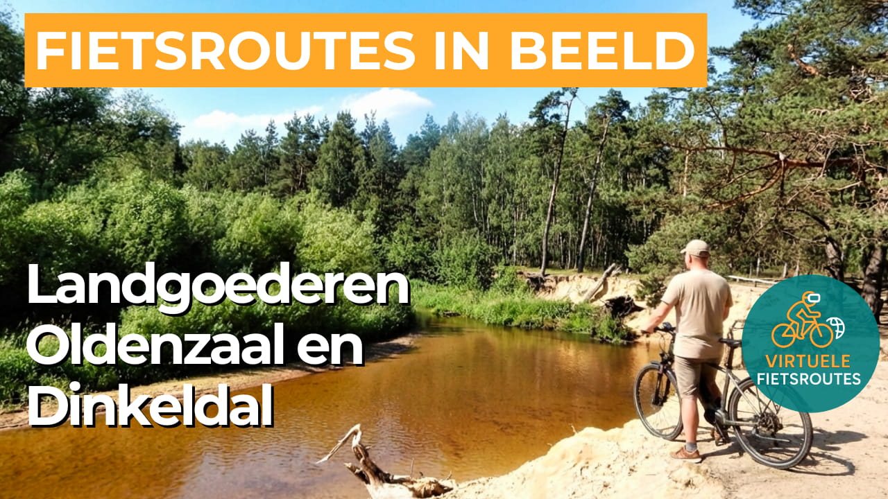
Cycling route Landgoederen Oldenzaal and Dinkel Valley
Cycling through a park-like Twente landscape with stately avenues, winding stream valleys, wooded glacial ridges and wide views over traditional raised fields and open farmland.
The Landscape
Around Oldenzaal lies a green belt of historic manor houses and country estates, where winding sandy roads and long avenues link the estates together. Sheltered by woodland edges, quiet ponds and small clearings catch the light filtering through the canopy. This interplay of enclosed greenery and open space gives the ride the calm, intimate atmosphere that is so characteristic of Twente.
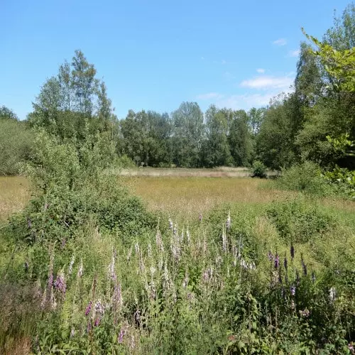
To the east of Oldenzaal, the Dinkel Valley unfolds as a lively river landscape, with flower-rich grasslands, hedgerows and deciduous woodlands along the banks. Here, the Dinkel still follows a natural, meandering course, reflected in its winding bends, river levees and wet hay meadows. On the surrounding slopes, gently rolling fields with lines of oak trees and traditional farmsteads create a landscape that changes in character without losing its sense of calm.
What You’ll Discover Along the Way
Around Oldenzaal, you cycle through quiet woodland areas with winding trails and sandy paths, interspersed with small open clearings. These brief views over traditional raised fields and open farmland add a lively, photogenic quality to the landscape. Now and then, a small pond appears as a calm mirror among the greenery.
The estates create an almost park-like setting of tree-lined avenues, historic farmsteads and striking rows of trees that have shaped the landscape for generations. Along the way, the legacy of manor houses and country estates is reflected in the layout of the land, with long sightlines and sheltered routes. It is a landscape where nature and culture blend seamlessly.
In the Dinkel Valley, the route follows the rhythm of the Dinkel, with each bend revealing new views of grasslands and riverside greenery. Reed beds and alder carr woodlands create a gentle transition between water and land. As a result, the landscape feels dynamic throughout the ride, while maintaining a calm, unhurried atmosphere.
The varied relief around Oldenzaal gives your ride a surprisingly undulating character, shaped during the Ice Age and still clearly visible today. From the higher sections, you suddenly enjoy wide views, including towards the forests near the Tankenberg. Shortly after, the route descends into a green valley, where the landscape feels more intimate and sheltered.
Ride along with us on this virtual bike tour
Virtual cycling through Landgoederen Oldenzaal and the Dinkel Valley takes you into the heart of the Twente bocage landscape, where winding sandy roads, stately avenues and woodland edges alternate at an easy pace. From your indoor trainer, you experience the park-like setting of historic manor houses and country estates, with views over gently elevated arable fields and farmland that keep the landscape feeling open and alive.
Further along, the route follows the Dinkel Valley, where the Dinkel still meanders freely through flower-rich grasslands, wet hay meadows and small deciduous woodlands along its banks. As you ride through these quiet stream valleys, the rhythm of water and greenery becomes especially vivid. Each bend reveals a new scene of meadows, reed fringes and clusters of trees, keeping the route engaging while maintaining its sense of calm.
Want to learn more about virtual cycling? THIS IS HOW VIRTUAL CYCLING WORKS
Route map and cycling junctions
Start and finish near cycling junction 53 at the Oude Dijk in Denekamp. Because this is a circular route, you can also start at one of the other cycling junctions along the route.
Distance: 55 km
Estimated riding time: 3 hours 43 minutes
Elevation gain: 244 m
Paved roads: 65%
Unpaved / semi-paved: 35%
Ideal for: e-bikes and city bikes
Along the way: several options for a coffee break or lunch.


