
Cycling route Zuidlaardermeer and Hondsrug
Cycling through a surprisingly varied landscape of woodland edges and country estates, with expansive views over the Zuidlaardermeer, marsh polders, and wide reed beds.

The Landscape
The landscape south of Groningen forms a rich mosaic of open plains, forests, lakes, and marshy polders. Dense woodlands, shimmering waters, and bird-rich nature reserves alternate in a calm rhythm, while stately country estates stand as quiet witnesses to the past. The vast marshy polders give the Zuidlaardermeer area its distinctive sense of space and play a vital role in water management and nature restoration. It is a place to unwind and enjoy tranquillity, open horizons, and natural beauty in every direction.
The Hondsrug is a long, gently winding sandy ridge in the northern Netherlands, formed by ice and meltwater during the Ice Ages. As a dry route through a marshy landscape, it served for thousands of years as an ideal corridor for settlement and travel. Here, Neanderthals once hunted mammoths, megalithic builders raised monumental burial sites, and the first farmers established their villages. The landscape still preserves these traces, from impressive dolmens and quiet burial mounds to mysterious ritual sites and ancient cart tracks across the heath.
What You’ll Discover Along the Way
On the higher grounds of the Hondsrug, you cycle through sheltered lanes, woodland edges, and estate landscapes that give the route an intimate character. Between the greenery, patches of heath and small open fields appear, creating a constant interplay of shade and light. The elevation changes are subtle, yet they provide a distinct sense of relief.
Around the Zuidlaardermeer lies a clearly structured landscape of grasslands and arable fields, intersected by ditches, drainage channels, and embankments. The pattern of waterways and dikes shows how the area has been shaped for agriculture, water management, and nature. The open space offers wide horizons, with the Hondsrug rising gently in the background.
Along the edges of the Zuidlaardermeer and in the lower-lying areas, wet nature dominates, with reed beds, peat remnants, and quiet shorelines. Natural succession, peat cuttings, and rough marsh vegetation add variety and create a distinctly water-rich atmosphere. These are the stretches where you most strongly experience the area’s rich birdlife.
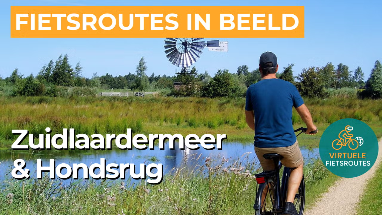
The Zuidlaardermeer forms the spatial heart of the route, with open water that continually shapes the view. Along the shores, reed fringes, inlets, and embankments alternate, with sightlines that enhance the sense of space. The inflow and outflow of water, including via the Hunze and the Drentsche Diep, give the area a clearly dynamic water system.
Ride along with us on this virtual bike tour
Virtual cycling through the Zuidlaardermeergebied and the Hondsrug lets you experience from home the contrast between open water, reed beds, and expansive marsh polders. In the video, you ride along quiet shorelines and long sightlines around the Zuidlaardermeer.
On the Hondsrug, the scenery shifts to woodland edges, country estates, and sheltered lanes with subtle relief. Megalithic tombs and burial mounds along the way add an extra layer of history to the route. Ideal for a relaxed indoor cycling session or to explore the route in advance.
Want to learn more about virtual cycling? THIS IS HOW VIRTUAL CYCLING WORKS
Route map and cycling junctions
Start and finish near cycling junction 26 on the Hoornsedijk in Haren. Because this is a circular route, you can also start at one of the other cycling junctions along the route.
Distance: 52 km
Estimated riding time: 3 hours 26 minutes
Elevation gain: 53 m
Paved roads: 81%
Unpaved / semi-paved: 19%
Ideal for: e-bikes and city bikes
Along the way: several options for a coffee break or lunch.


