
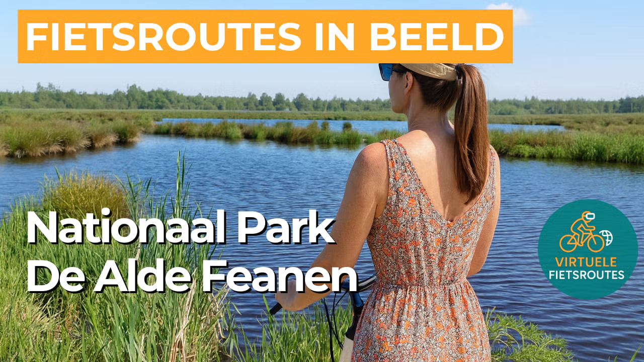
Cycling route National Park De Alde Feanen
Cycle along waterways, reed beds, and marsh woodlands in National Park De Alde Feanen. Discover a varied route full of nature and tranquility in Friesland.
The Landscape
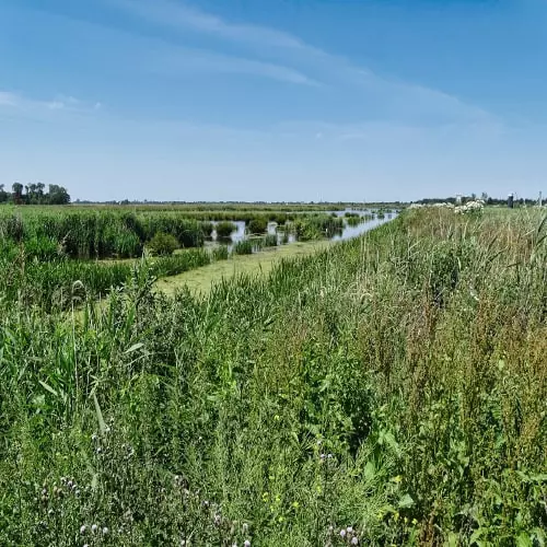
National Park De Alde Feanen is an extensive low-peat landscape of peat ponds, reed beds, shallow lakes, and sheltered marsh woodlands. Shaped by centuries of peat extraction, the area has developed into a mosaic of water and land, with canals and lakes that continually change the scenery. The nature here is remarkably rich and diverse, with a wide variety of plants adapted to wet grasslands and peat marshes. More than 450 plant species and over 100 breeding bird species have been recorded, making De Alde Feanen one of the most bird-rich nature areas in the northern Netherlands.
At the heart of this water-rich area lies Eernewoude, originally a small community on the edge of the peatlands. In the nineteenth century, peat extraction transformed the landscape, creating peat ponds and lakes and providing work for boatmen, reed cutters, and fishermen. Today, Eernewoude serves as a lively starting point for experiencing nature and recreation in the park.
What You’ll Discover Along the Way
Along the edges of National Park De Alde Feanen, you cycle through open meadowland with long ditches, wide parcels, and expansive sightlines. The calm of the polder landscape makes the transition to reed beds and open water all the more striking, with meadow birds often seen above the grass along the way.
In the heart of the park, reed beds, low peat, and marsh woodland dominate, with peat ponds and narrow waterways giving the area its own rhythm. Here, you can clearly sense how nature and the history of peat extraction have together shaped a rugged, bird-rich landscape.
The route frequently passes open water, where lakes and ponds bring a sense of space, reflections, and ever-changing light. Reed beds and quiet shores shape the atmosphere, while in the distance you often see leisure boats gliding by.
Between the larger bodies of water, smaller waterways run like natural lines through the landscape, continually opening up new views. Small bridges, quays, and banks with rough vegetation and reeds add variety and keep the ride engaging.
Ride along with us on this virtual bike tour
Virtual cycling through National Park De Alde Feanen lets you experience the Frisian low-peat wetlands from home, with reed beds, peat ponds, shallow lakes, and quiet marsh woodlands. In the video, you follow peaceful paths and embankments along open water and green edges, with views that continually shift between wide and sheltered.
Along the way, you notice how water and peat shape the landscape, with narrow waterways, reed beds, and wet grasslands known for their rich birdlife. The combination of long sightlines across lakes and more intimate stretches along marsh woodland gives the route a natural rhythm that makes for an enjoyable ride, even indoors.
Want to learn more about virtual cycling? THIS IS HOW VIRTUAL CYCLING WORKS
Route map and cycling junctions
Start en finish nabij knooppunt 38 aan de Smidspaed in Eernewoude. Because this is a circular route, you can also start at one of the other cycling junctions along the route.
Distance: 48 km
Estimated riding time: 3 hours 12 minutes
Elevation gain: 21 m
Paved roads: 72%
Unpaved / semi-paved: 28%
Ideal for: e-bikes and city bikes
Along the way: several options for a coffee break or lunch.


