
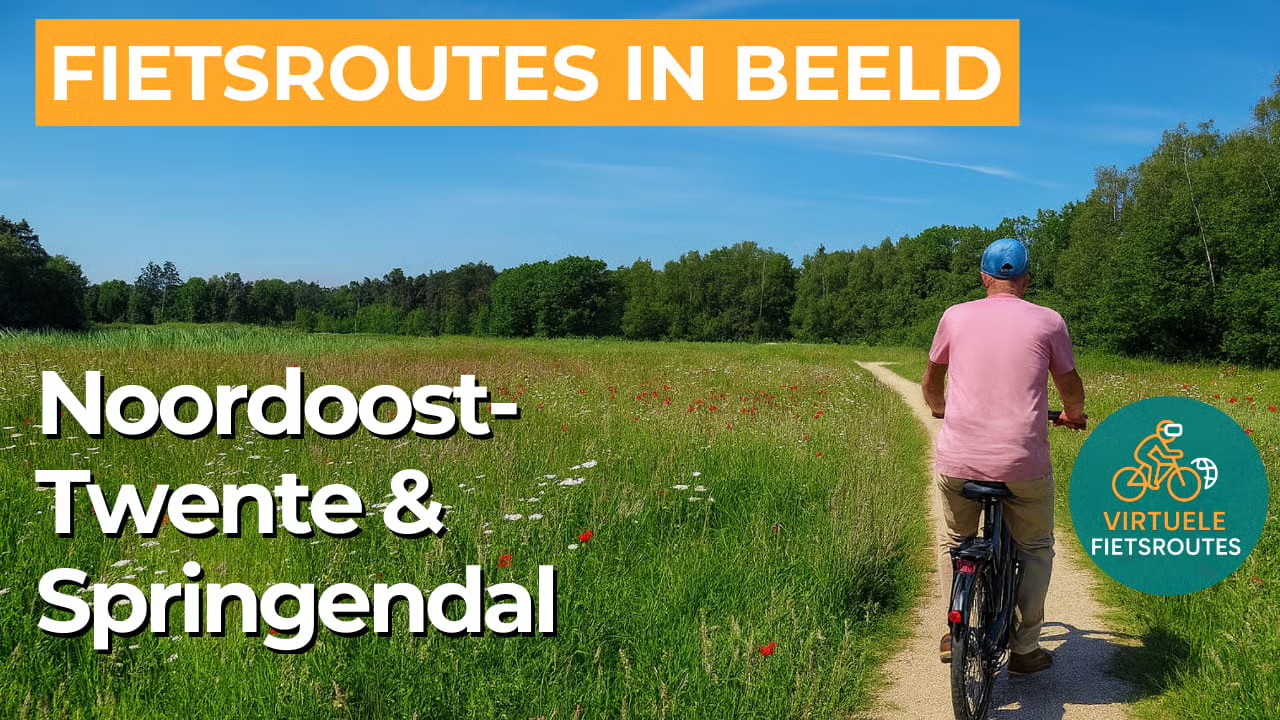
Cycling route Northeast Twente and Springendal
Cycling through a green and small scale Twente landscape with hedgerows, Saxon farmhouses, forests, and heathlands. Along the way, open meadows and leafy stream valleys alternate with clear springs and gently flowing brooks.
The Landscape
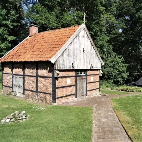
Northeast Twente is known for its traditional elevated field and enclosed farmland landscape around villages and hamlets, where fields and meadows are divided into small scale parcels. Hedgerows, tree lines, and small woodlands continually reveal new views, while heath patches and quiet fens create openness and sweeping vistas. The elevation differences of the ancient pushed up grounds give rise to natural springs that feed the area with clear groundwater, after which small brooks slowly flow into the valleys. Hidden within the greenery are traces of a long history of settlement, from burial mounds and urn fields to historic farmyards with characteristic Saxon farmhouses.
The Springendal forms a remarkably varied part of the route, where spring fed ponds, brooks, hay meadows, and ancient woodland plots lie close together. In the 1920s, the area was given a distinctive English landscape style design, still visible today in its avenues and water features, with watermills and farmhouses serving as recognisable landmarks within the valley.
What You’ll Discover Along the Way
You cycle along quiet forest edges and green avenues where the light constantly changes as it filters through the trees. In places with heathlands and open fields, such as the Manderheide, the views widen and the route feels especially spacious. This contrast between sheltered and open landscapes keeps the ride pleasantly varied and dynamic.
The Springendal has the character of a country estate landscape, with long sightlines and a recognisable English landscape style design created in the 1920s. Along the way, you encounter heritage connected to the water, such as Watermolen Frans and Watermolen Bels along the Mosbeek. Together, they make the history of the stream valley clearly visible in the landscape.
This is not a polder landscape, but characteristic Twente countryside with elevated fields, farmlands, meadows, and farmyards surrounding small villages. Hedgerows and tree lines divide the land into green chambers, continually revealing new views along the route. Its small scale character creates a ride full of variation without long, open stretches.
Natural springs and stream valleys give the route a water rich character, with clear groundwater collecting in ponds and ditches before flowing further through the greenery. In and around the Mosbeek valley, narrow brooks and wet hay meadows define the scenery. As a result, you often cycle close to the water, keeping the landscape fresh and full of life.
Ride along with us on this virtual bike tour
Virtual cycling through Northeast Twente and the Springendal lets you experience the traditional Twente landscape of elevated fields and enclosed farmlands, with hedgerows and farmyards that continually shift the scenery between open fields and sheltered country lanes. You ride past forest edges and small heathlands, with views towards characteristic Saxon farmhouses.
In the Springendal, natural springs and the Mosbeek valley create a varied water rich landscape, where small brooks gently wind through hay meadows and green corridors. Thanks to the mix of nature, water, and heritage, this is an enjoyable virtual cycling route for indoor training, offering plenty of variety without busy traffic.
Want to learn more about virtual cycling? THIS IS HOW VIRTUAL CYCLING WORKS
Route map and cycling junctions
Start and finish near cycling junction 32 on the Bergweg in Mander. Because this is a circular route, you can also start at one of the other cycling junctions along the route.
Distance: 50 km
Estimated riding time: 3 hours 22 minutes
Elevation gain: 179 m
Paved roads: 81%
Unpaved / semi-paved: 19%
Ideal for: e-bikes and city bikes
Along the way: several options for a coffee break or lunch.


