
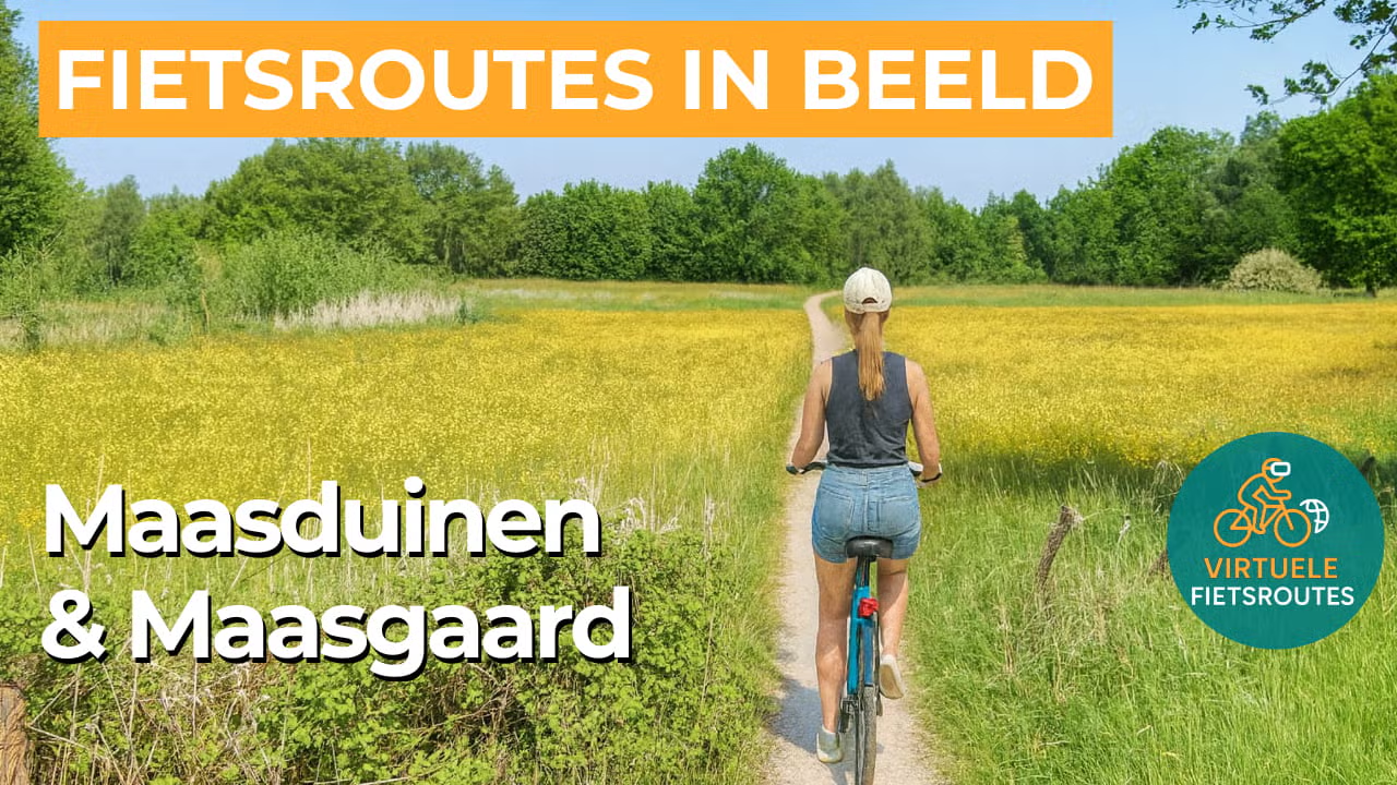
Cycling route Maasduinen and Maasgaard
Cycling through a diverse landscape of forests, heathlands, river dunes, fens, stream valleys, floodplains, ancient river meanders, and rose fields.

The Landscape
In the north of Limburg lies one of the Netherlands’ most remarkable natural areas: National Park De Maasduinen, home to the longest river dune belt in Europe, surrounded by a distinct river terrace landscape. For centuries, water and wind shaped the area, with the Meuse carving out the terraces while the wind piled up the sand into dunes that in some places rise more than 25 metres high. To control the drifting sand, large parts were stabilized with forests, creating today’s mosaic of rolling terrain, greenery, and open sandy areas through which you cycle.
Beyond this, the Maasgaard unfolds as a forward-looking landscape where nature, water safety, agriculture, and recreation visibly come together. Between 2013 and 2024, the area underwent a large-scale transformation, resulting in more space for water, greater biodiversity, and more attractive cycling routes. The Maasgaard consists of three distinctive zones that complement one another along the way: the peat-rich Peel region, the flower-rich stream valleys, and the open Meuse Valley with its river branches and floodplains.
What You’ll Discover Along the Way
In the Maasduinen, you cycle through fragrant pine forests and young deciduous woodland that have kept the sand in place for generations. Between the trees lie heathlands and open dune areas where you truly experience the elevation changes of the river dunes. It is precisely this interplay of shadow, light, and relief that gives this part of Limburg its quiet and rugged character.
Around Lottum, the landscape becomes more open and rural, with fields, orchards, and farmsteads lining quiet roads. Here, you cycle between farmland and hedgerows, with wide views toward village edges and the Meuse countryside. In season, the rose fields near Lottum add extra colour and a distinctive atmosphere to the route.
Between the forests and sandy areas lie quiet fens and pools that give the landscape a surprisingly water-rich character. On warm days, the area feels cool and sheltered as you cycle past reed-lined edges and reflective shores. These places attract birds, dragonflies, and amphibians, making the dune landscape even more vibrant.
The Meuse is the great shaper of this region, something reflected in the terraces, floodplains, and old meanders that run like natural lines through the landscape. Smaller streams also wind through stream valleys with flower-rich banks and wet grasslands. As a result, the route effortlessly alternates between forested dunes and the open river landscape of the Meuse Valley.
Ride along with us on this virtual bike tour
Virtual cycling through the Maasduinen and the Maasgaard takes you along the longest river dunes in Europe, where forests, heathlands, and open sandy areas alternate within a surprisingly rolling landscape. You experience the elevation changes of the dunes and the tranquillity of quiet fens and forest paths, as if you were riding through North Limburg yourself.
The Maasgaard then unfolds as an open Meuse landscape with stream valleys, floodplains, and rural roads. Along the way, rose fields, wide views, and the interplay of water and agriculture create a route that is relaxing to watch and delightful to ride at any time of day.
Wil je meer weten over virtueel fietsen? ZO WERKT VIRTUEEL FIETSEN
Route map and cycling junctions
Start and finish at cycling junction 74 on the Twistedenerweg in Wellerlooi. Because this is a circular route, you can also start at one of the other cycling junctions along the route.
Distance: 50 km
Estimated riding time: 3 hours 21 minutes
Elevation gain: 112 m
Paved roads: 77%
Unpaved / semi-paved: 23%
Ideal for: e-bikes and city bikes
Along the way: several options for a coffee break or lunch.


