
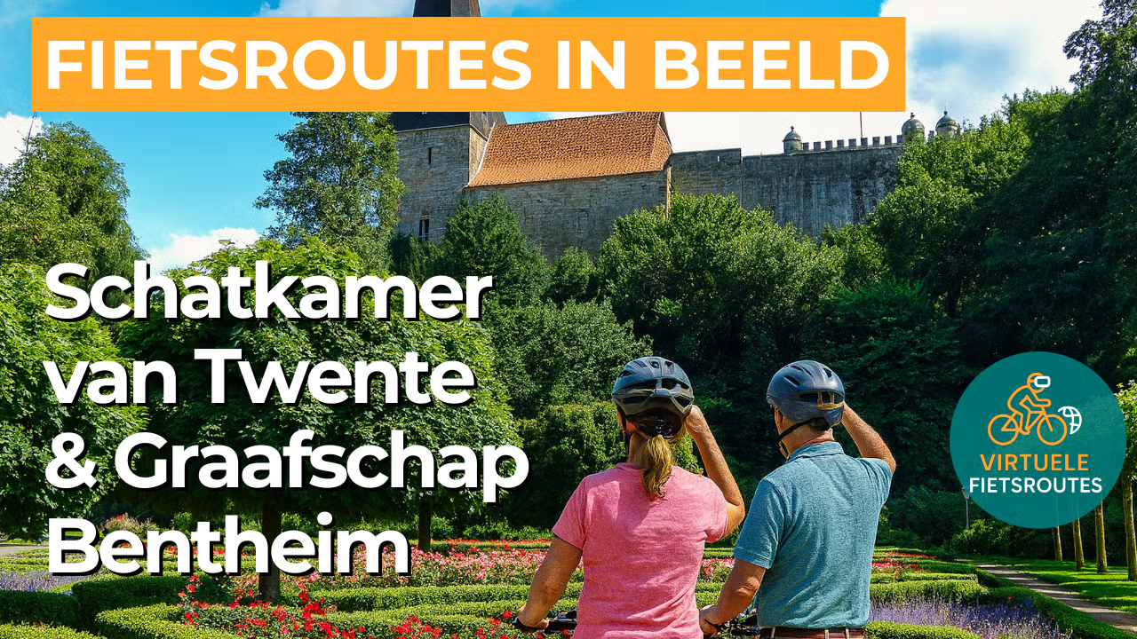
Cycling routeTreasury of Twente and County of Bentheim
Cycling through the Twente German border region with forests, hedgerows, historic farmyards, and charming historic towns.
The Landscape
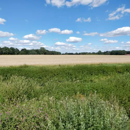
The Treasure Chamber of Twente lies in the southeastern part of Twente, around Losser, De Lutte, and Overdinkel, in a landscape where nature and culture remain closely intertwined. You cycle through the characteristic bocage landscape of hedgerows, small woodlands, fields, and meadows, interspersed with heath patches and flower rich verges that constantly change the scenery.
Closer to the border, Twente almost seamlessly merges into Lower Saxony in Germany, where the County of Bentheim unfolds with Bad Bentheim as its historic centre. High above the spa town rises Bentheim Castle, built from sandstone, while at its foot lie the peaceful Bentheimer Wald and its green avenues. A little further on awaits the Gildehauser Venn, a remarkable wetland landscape of wet heath, peat pools, reed fringes, and marsh woodlands where you can truly experience the silence of the open countryside.
What You’ll Discover Along the Way
In the surroundings of Losser, you cycle through wooded areas with open heath patches and long hedgerows that give the Twente landscape its distinctive character. On the sandy grounds towards De Lutte and the German side of the border, sheltered lanes and light open spaces alternate continuously, so that every bend reveals a new view.
Along the way, you pass historic farmyards and traditional Saxon farmhouses that keep the story of Twente visible in the landscape. In the County of Bentheim, this heritage blends seamlessly with Bad Bentheim, where the castle, spa tradition, and historic streets together create a true sense of destination.
Between the higher sandy ridges lie wet lowlands and stream valley zones that make the landscape greener and give the route additional variety. Towards the Gildehauser Venn, you experience the atmosphere of peatland and wetlands, with reed fringes, pools, and bird rich open water.
The Dinkel forms the common thread of this cycling route and gives the landscape a natural, winding flow. Along the Dinkel valley, steep banks, small bridges, and waterside views create picturesque moments, while the river enhances the contrast between wet grasslands and the higher sandy grounds.
Ride along with us on this virtual bike tour
Virtual cycling through the Treasury of Twente and the County of Bentheim means enjoying the characteristic Twente bocage landscape, with hedgerows, historic farmyards, quiet forest lanes, and open heath patches around Losser, De Lutte, and Overdinkel. On your indoor bike, you experience the rhythm of narrow country roads and green vistas, while the landscape almost imperceptibly transitions from the Netherlands into Lower Saxony.
Just across the border, the route virtually takes you past Bad Bentheim with its castle and historic atmosphere, followed by peaceful stretches through the Bentheimer Wald. As a highlight, the Gildehauser Venn feels almost like another world, with peat pools, reed fringes, and wet heathlands that give the video a wide open and bird rich character.
Want to learn more about virtual cycling? THIS IS HOW VIRTUAL CYCLING WORKS
Route map and cycling junctions
Start and finish near cycling junction 14 on the Smuddestraat in Losser. Because this is a circular route, you can also start at one of the other cycling junctions along the route.
Distance: 48 km
Estimated riding time: 3 hours 14 minutes
Elevation gain: 244 m
Paved roads: 68%
Unpaved / semi-paved: 32%
Ideal for: e-bikes and city bikes
Along the way: several options for a coffee break or lunch.


