
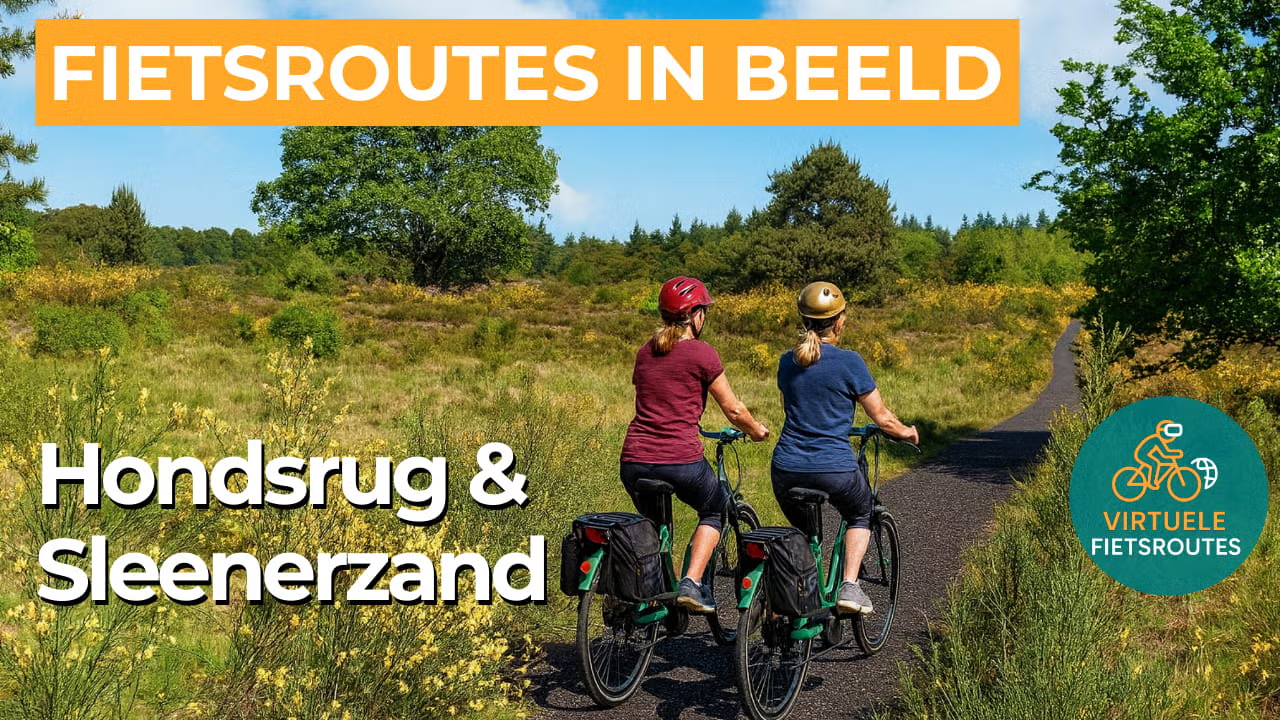
Cycling route Hondsrug and Sleenerzand
Cycle through a captivating Drenthe landscape of expansive forests, open heathlands, tranquil pools, and lush green stream valleys.

The Landscape
The Hondsrug is a long, narrow sandy ridge in Drenthe, formed by ice and meltwater during the Ice Ages. Its higher, drier position made it a natural route through the surrounding wet landscape for thousands of years, and therefore a logical place to live and travel. Around places such as Borger, Odoorn, and Schoonloo, you can still see clear traces of this long history, with megalithic tombs, burial mounds, and ancient paths that give the landscape an added sense of meaning.
Along the way, you experience the Drenthe landscape on the Hondsrug and in the Sleenerzand around Noord-Sleen and Schoonoord up close. You ride along quiet forest lanes and past open patches of heath, with subtle elevation changes that give this sandy ridge its distinctive character. Quiet pools, wet hollows, and small stream valleys add variety and a near-silent atmosphere, making the route ideal for those who enjoy peace, space, and unspoiled nature.
What You’ll Discover Along the Way
During this cycling route, you ride through forest areas and across open heathlands on the Hondsrug and the Sleenerzand. The gentle elevation changes and open spaces give this part of the route a varied character.
Along the route, you encounter prehistoric structures and historic land-use patterns. They show how the landscape here has been shaped by people over the centuries.
Along the edges of the nature reserves, you cycle through open farmland. Arable fields and meadows create long sightlines and give this part of the route a calm, steady character.
In the lower parts of the area, you cycle past damp heathland and marshes. These wet zones add variety to the landscape and attract a wide range of plants and animals.
Ride along with us on this virtual bike tour
With this virtual cycling route, you can experience the Hondsrug and Sleenerzand at your own pace, at home on an indoor trainer or as preparation for a real ride in Drenthe. You’ll experience the variety of forest, heathland, and open countryside, with a route that feels subtly different throughout thanks to the interplay of elevation, light, and space.
Along the way, you get a vivid sense of the Drenthe landscape between Noord-Sleen and Schoonloo, where quiet pools and stream valleys add to the atmosphere. Ideal if you enjoy training with a true outdoor feel, or if you want to know what to expect before heading out on the route.
Want to learn more about virtual cycling? THIS IS HOW VIRTUAL CYCLING WORKS
Route map and cycling junctions
Start and finish near cycling junction 33 on the Veenweg in Het Haantje. Because this is a circular route, you can also start at one of the other cycling junctions along the route.
Distance: 54 km
Estimated riding time: 3 hours 37 minutes
Elevation gain: 42 m
Paved roads: 92%
Unpaved / semi-paved: 8%
Ideal for: e-bikes and city bikes
Along the way: several options for a coffee break or lunch.


