CYCLING ROUTE · NORTH HOLLAND
Cycling Route Noordkop and Noordduinen
Cycling through a varied coastal landscape with wide sandy beaches, expansive dunes and polders filled with colourful flower bulb fields.
The Landscape
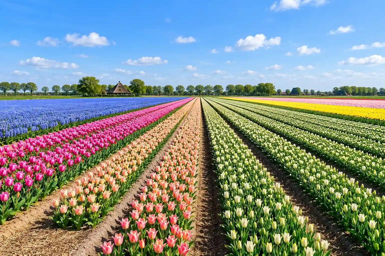
The Noordkop is a typically Dutch coastal landscape where water, wind and human influence have shaped the scenery over centuries. Around Julianadorp and Anna Paulowna, open polders stretch out between dikes, canals and straight fields, with colourful tulip, hyacinth and daffodil fields creating a striking spring landscape. Traditional Dutch farmhouses and windmills add familiar landmarks to the wide and open countryside.
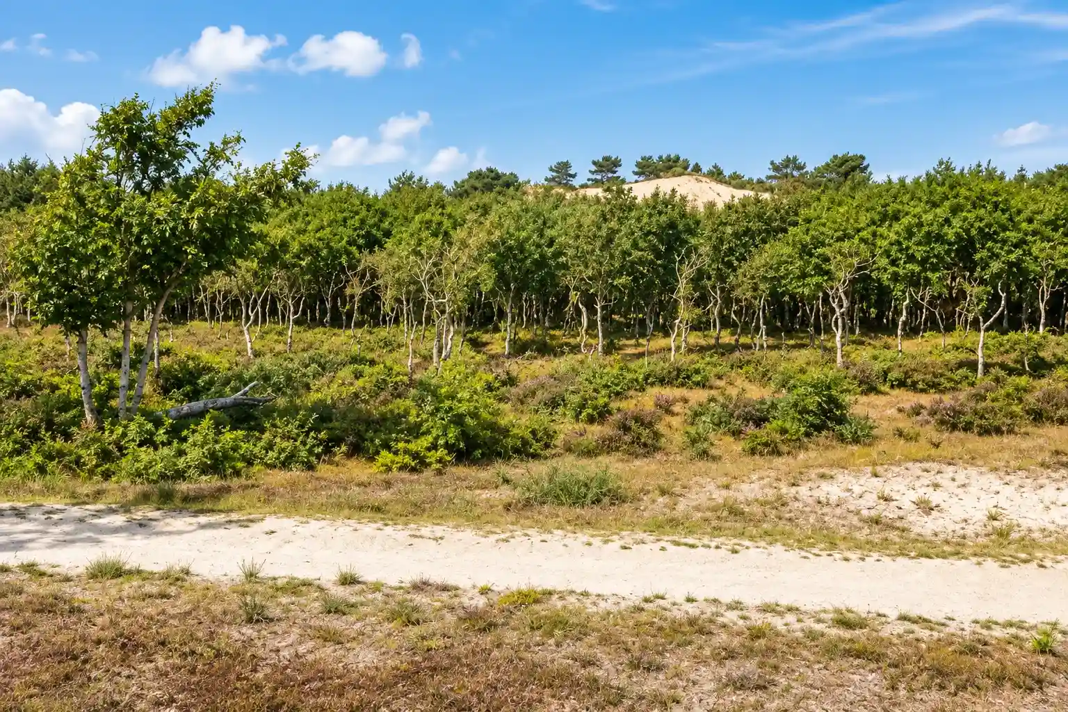
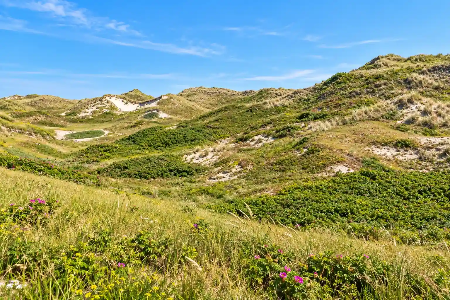
Between Den Helder and Julianadorp, the Noordduinen form a contrasting coastal landscape shaped by sea and sand. Wide dune ridges covered with marram grass, sea buckthorn and flowering herbs alternate with quiet dune valleys, dry grasslands, reed beds and occasional small dune lakes. On the western side, the dunes meet the North Sea and its broad beaches, while inland they gradually transition into polders and flower bulb fields, creating a remarkable contrast between coast and countryside.
What You'll Discover Along the Way

Forests and Heaths
The sheltered Noordduinen feature dune grasslands, reed beds, dense shrubs and occasional small dune lakes, creating a surprisingly green and varied coastal landscape.

Estates and Heritage
Dikes, land reclamation and coastal defence have shaped the Noordkop for centuries, while traditional Dutch farmhouses, rural homesteads and historic roads add a strong cultural character.

Coastal and Tidal Zone
The Noordduinen meet the North Sea along wide sandy beaches where marram grass, shells, seabirds, wind and changing light create a constantly shifting coastal landscape.

Polders and Farmlands
Straight canals, drainage ditches and long fields create the geometric pattern of the Noordkop polders, while colourful flower bulb fields around Julianadorp and Anna Paulowna brighten the landscape in spring.
Virtual Cycling Through the Noordkop and Noordduinen
Virtually cycle along broad beaches and rolling dunes in the Noordduinen, with marram grass, dune valleys and the North Sea as your backdrop. Further inland, the landscape changes into orderly polders with canals, long fields and colourful flower bulb fields around Julianadorp and Anna Paulowna.
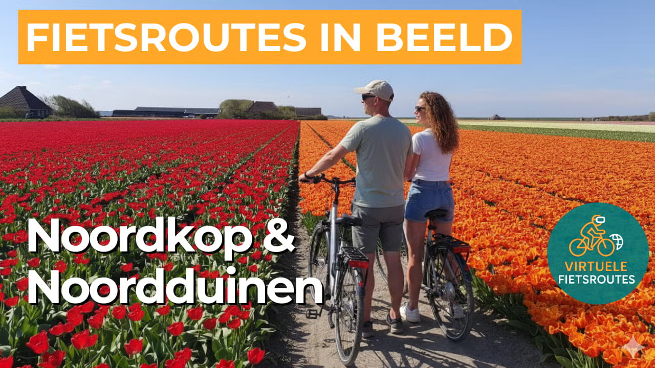
Experience the route from home with virtual cycling.
Route Map and Cycling Junctions
Start and finish near cycling junction 15 on the Kneeskade in Anna Paulowna. Because this is a circular route, you can also start at one of the other cycling junctions along the route.
Route Details
Along the way: several options for a coffee break or lunch.
Discover More Cycling Routes
Explore more North Holland landscapes and find your next cycling adventure in nature.
EXPLORE ALL CYCLING ROUTES IN NORTH HOLLAND →