
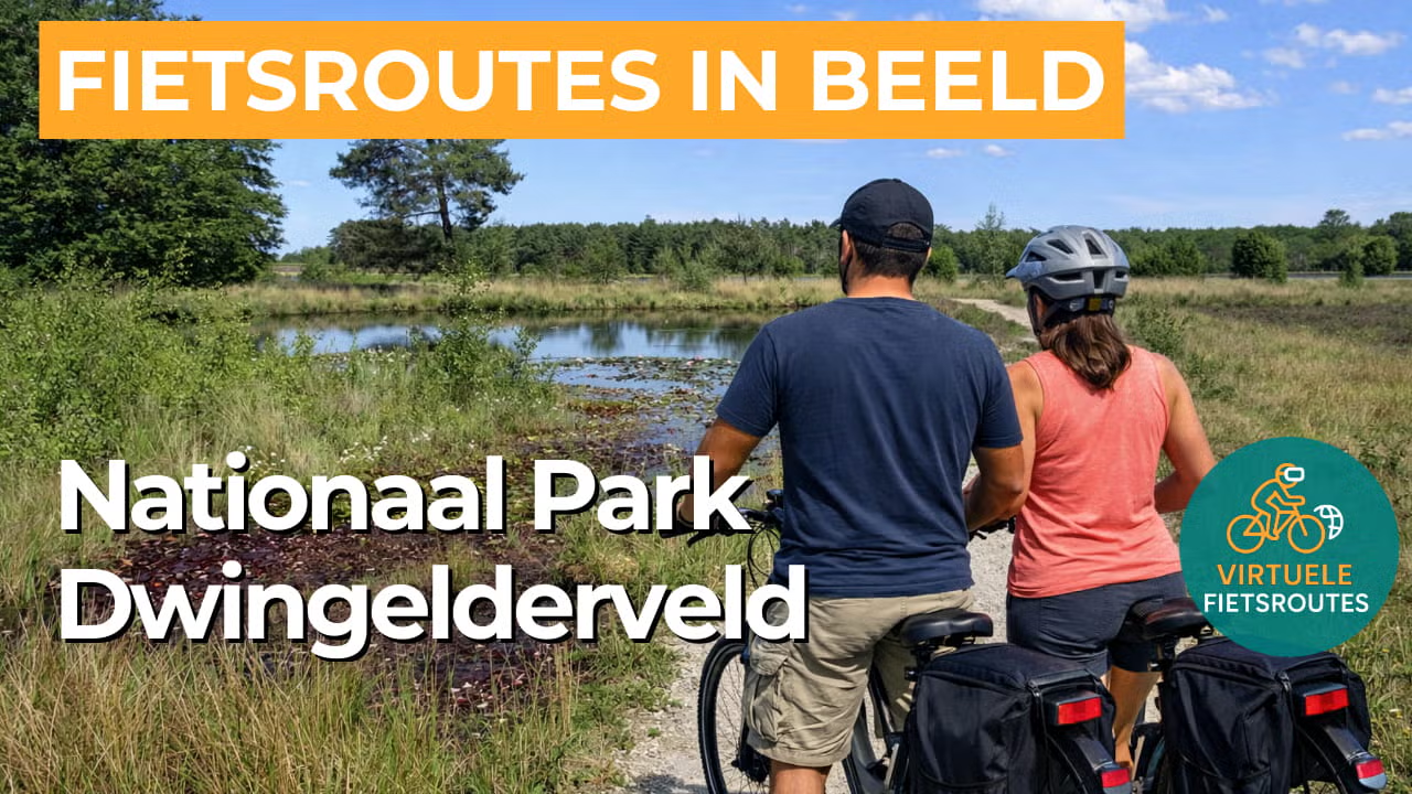
Cycling route National Park Dwingelderveld
Cycling through a rugged natural landscape of expansive heathlands, juniper thickets, shady forests, ancient burial mounds, and countless fens.

The Landscape
The Dwingelderveld National Park near Dwingeloo is the largest wet heathland area in Western Europe. Covering around 3,500 hectares, it features a rich variety of expansive heathlands, tranquil fens, juniper thickets, and wet woodland. The landscape took shape after the last Ice Age and has since been shaped for centuries by grazing and sod-cutting, keeping the heath open and diverse. Dozens of small fens are scattered across the area, creating a sense of calm, beautiful reflections, and a distinctive natural experience in one of the darkest regions of the Netherlands.
Around the National Park, you cycle through a small-scale Drenthe cultural landscape with quiet lanes, winding paths, and wide views across fields and meadows. Tree-lined hedgerows, small woodlands, and farmhouses on sandy soils give this part of the route a gentle rural rhythm. Along the edges lie characteristic villages and traditional esdorpen such as Dwingeloo, Ruinen, and Spier, adding extra atmosphere to the ride. This circular route beautifully combines the wet heathlands and fens of the Dwingelderveld with peaceful farmland and green transition zones just beyond the nature reserve.
What You’ll Discover Along the Way
During this cycling route, you ride through expansive heathlands and quiet forest areas of the Dwingelderveld National Park. The open heath and sheltered forest edges create a varied and spacious landscape.
Beyond the nature reserve, you cycle through open agricultural landscapes with meadows and arable fields. The long sightlines and quiet roads give this part of the route a relaxed character.
In the wetter parts of the National Park, you cycle past peat areas and damp heathland. These habitats are important for nature and give the landscape an open, natural character.
Small pools and water features are scattered across the heathland. They provide peaceful spots along the way and add extra variety to the route.
Ride along with us on this virtual bike tour
Virtual cycling through the Dwingelderveld National Park takes you into the heart of the Drenthe heathland, with long stretches along open heath, forest edges, and quiet fens. The video follows a calm pace and offers a natural variety of scenery, giving you the feeling of being outdoors even while training at home on your indoor bike.
This virtual cycling route is also ideal as preparation for a real ride around Dwingeloo and Spier. You get to know the character of the area, gain a clear sense of the route, and discover where the best viewpoints and quiet stretches can be found.
Want to learn more about virtual cycling? THIS IS HOW VIRTUAL CYCLING WORKS
Route map and cycling junctions
Start and finish near cycling junction 44 on the Commissaris Cramerpad in Spier. Because this is a circular route, you can also start at one of the other cycling junctions along the route.
Distance: 54 km
Estimated riding time: 3 hours 39 minutes
Elevation gain: 74 m
Paved roads: 62%
Unpaved / semi-paved: 38%
Ideal for: e-bikes and city bikes
Along the way: several options for a coffee break or lunch.


