CYCLING ROUTE · NORTH BRABANT
Cycling Route Kempenland-West and Landgoed De Utrecht
Cycle through a varied landscape of dense forests, open heathlands, tranquil fens, lush stream valleys, rolling farmland and charming Kempen villages.
The Landscape
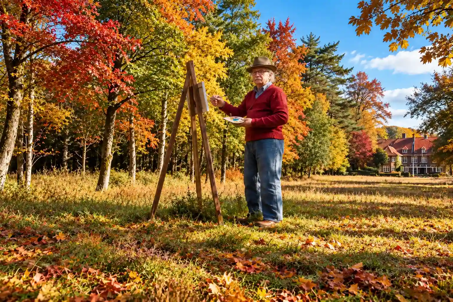
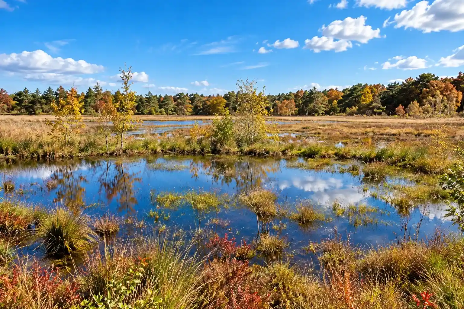
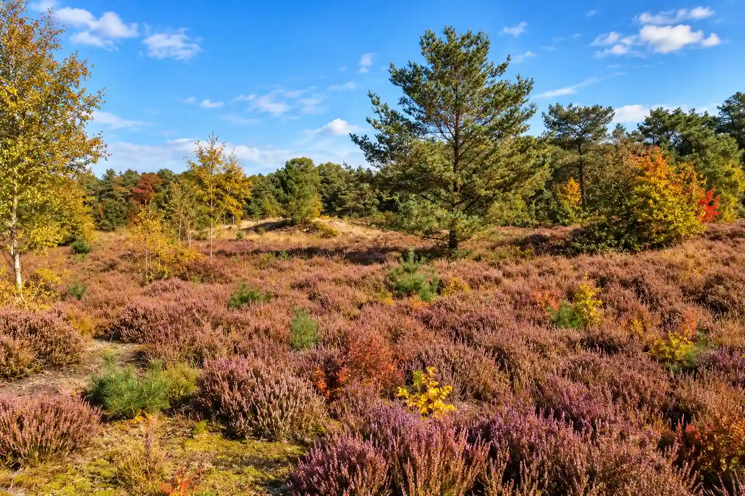
Kempenland-West lies on the border between Noord-Brabant and Belgian Limburg. Heathlands, peat lakes, coniferous and deciduous forests, and sandy soils shape this diverse landscape. Lowland streams connect its different natural areas, creating a distinctive mosaic of woodland, heath, water, and open countryside.
The approximately 2,500-hectare country estate of Landgoed De Utrecht was established in the late 19th century by transforming former heathland into productive forest and farmland. Today, forests, farmland, meadows, wetlands, peat lakes, and small streams create a varied landscape. Combining cultural history, sustainable forestry, and nature conservation, it is one of the most distinctive areas of the Brabantse Kempen.
What You'll Discover Along the Way

Forests and Heaths
Cycle along long avenues through production forests where pines and oaks define the landscape, interspersed with quiet sandy tracks and sheltered woodland edges. Around De Utrecht, broad heathlands open up in wide expanses, offering the sweeping views characteristic of the Kempen.

Polders and Farmlands
Around Hooge Mierde and Esbeek, the route passes open farmland of grasslands, fields and traditional farms. Hedgerows, straight plots and quiet country lanes create a gentle rhythm within the surrounding greenery.

Marshes and Peatlands
Between the higher sandy grounds, wet heathlands and secluded fens are tucked away, with herb-rich edges creating a calm natural atmosphere. The Flaes and Goor add coolness and quiet, framed by reed beds, bog myrtle and dragonflies above the water.

Rivers and Streams
The Reusel winds as a narrow stream through Landgoed De Utrecht, forming a green valley lined with alders, willows and wet grasslands. Smaller streams and ditches cross the route, leading past little bridges and natural bends.
Virtual Cycling in Kempenland-West and Landgoed De Utrecht
Experience Kempenland-West with its forests, heathlands, peat lakes and open fields. The route takes you through Landgoed De Utrecht, following stream valleys, hedgerows and historic woodland and cultural landscapes, revealing the diverse character of the Brabant Kempen.
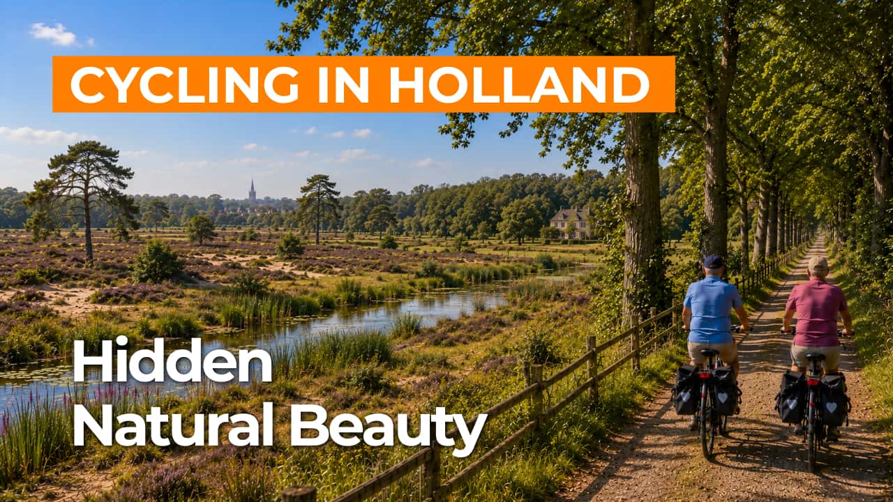
Experience the route from home with virtual cycling.
Route Map and Cycling Junctions
Start and finish near cycling junction 96 on the Twisseltsebaan in Hooge Mierde. Because this is a circular route, you can also start at one of the other cycling junctions along the route.
Route Details
Along the way: several options for a coffee break or lunch.
Discover More Cycling Routes
Explore more North Brabant landscapes and find your next cycling adventure in nature.
EXPLORE ALL CYCLING ROUTES IN NORTH BRABANT →