
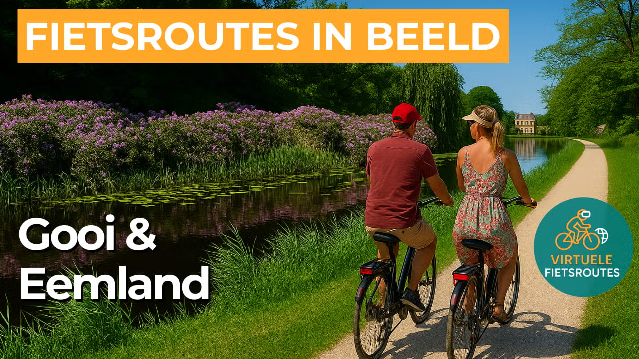
Cycling route Gooi and Eemland
Cycling through a surprising contrast of heathlands and forests on the sandy grounds of the Gooi, followed by the wide peat meadows and scenic waterways of Eemland.
The Landscape
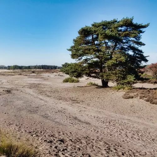
The Gooi is an ancient cultural landscape on higher sandy grounds, with traces of settlement dating back to prehistoric times, including burial mounds hidden among forests and heathlands. During the Middle Ages, small villages developed here with shared farmland and heathland used as common ground. From the nineteenth century onward, wealthy city residents were drawn to the green and wooded surroundings, and villages such as Laren and Blaricum became popular places for artists and country living. Today, you cycle through a varied landscape of heathlands, old forest edges, quiet ponds and sandy paths that continuously reveal new scenic views.
Eemland then feels like an open window, a polder landscape of peat and clay situated between higher grounds and the border lakes. Dikes, embankments and drainage canals were already constructed here at an early stage to make the wet land usable, something that is still visible today in the straight field patterns and long waterways. For centuries, the area remained mainly grassland, with wide meadows, farms built on slightly higher ground and a horizon that is hardly interrupted anywhere. Flowing through this quiet landscape is the River Eem, often described as the only river in the Netherlands that both rises and ends within the country itself. The presence of the water gives the route a calm and natural direction.
What You’ll Discover Along the Way
On the higher sandy grounds of the Gooi, you cycle past heathlands that glow purple in summer, with winding paths through the Goois Nature Reserve. Around the Bussummerheide and Westerheide, wide open views and grazing sheep flocks create the characteristic atmosphere of the Dutch heathlands, close to villages such as Laren and Bussum.
Around Blaricum and Laren, old village greens, historic farmhouses and tree lined lanes alternate throughout the landscape, giving the area a distinctive historical character. In the Gooi and Vecht region, country estates and park landscapes blend naturally into this setting, creating an atmosphere of stately calm between forests, water and villages.
As soon as you enter Eemland, the landscape opens into a wide peat meadow region with long fields, reed lined banks and perfectly straight drainage canals. With Eemnes as the transition between higher and lower grounds, the area is defined by open space, wide skies and quiet country roads through expansive grasslands.
The River Eem forms a clear blue line through the landscape, constantly revealing new views of riverbanks and floodplains along the route. Towards the Eemmeer, reed beds, waterbirds and wide shorelines further enhance the feeling of peace, openness and natural space.
Ride along with us on this virtual bike tour
Virtual cycling through the Gooi and Eemland lets you experience in a single ride the transition from the higher sandy grounds of the Gooi to the open peat meadows of Eemland. You ride past heathlands and forest edges near Blaricum and Laren, with constantly changing views over ponds, tree lined lanes and sandy paths.
After that, the landscape opens into polder roads with long canals, grasslands and dikes, where the horizon remains wide and peaceful. The River Eem gives the route both direction and atmosphere, allowing you to truly experience the contrast between heathland scenery and water rich polders from the comfort of your home.
Want to learn more about virtual cycling? THIS IS HOW VIRTUAL CYCLING WORKS
Route map and cycling junctions
Start and finish at cycling junction 21 on the Groeneveld in Baarn. Because this is a circular route, you can also start at one of the other cycling junctions along the route.
👉 The ferry connection between Eemdijk and Eemnes near cycling junction 11 does not operate on Sundays. It is advisable to cycle directly from junction 20 to junction 25 and continue the route from there towards junction 2. Coming from the opposite direction at junction 25, cycle directly to junction 20 and continue the route from there towards junction 21.
Distance: 55 km
Estimated riding time: 3 hours 40 minutes
Elevation gain: 102 m
Paved roads: 66%
Unpaved / semi-paved: 34%
Ideal for: e-bikes and city bikes
Along the way: several options for a coffee break or lunch.


