
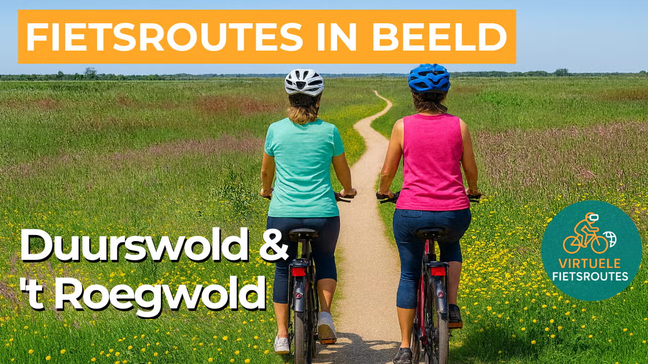
Cycling route Duurswold and 't Roegwold
Cycling through Groningen in a peaceful, water-rich landscape of reed marshes, peat lakes, young nature and wide panoramic views.

The Landscape
Duurswold is a region of space and rhythm, where long parcels, grasslands and linear villages shape the open landscape. Slochten and canals trace the land in straight lines and gentle curves, with dikes and small bridges as familiar landmarks. Between Slochteren and Schildwolde, farmhouses, churches and historic farmyards appear along the way, giving a constant sense of cycling through a lived-in cultural landscape.
Along the edges of Duurswold lies 't Roegwold, a young nature area that is returning to wet peatland. Here, reed marshes, species-rich grasslands, peat lakes and marsh woodland alternate, with flower-rich banks and abundant birdlife as a constant backdrop. The result is a landscape that looks different in every season, yet always retains its quiet, open character.
What You’ll Discover Along the Way
In Duurswold, you cycle through open meadows with long, straight parcels, ditches and dikes that give the landscape a clear, ordered pattern. Villages and farmhouses stand like beacons in the landscape, with views that often stretch far beyond the horizon.
In ’t Roegwold, the scenery shifts to reed marshes and wet grasslands, with rough vegetation and young marsh woodland along the edges. Around Tetjehorn, the influence of peat is visible in sphagnum-rich reedlands and a notably bird-rich atmosphere.
Peat lakes and wide expanses of water bring light and openness to the route, especially where the landscape broadens. The Dannemeer lies as a large wet nature area between the Slochterdiep and the Schildmeer, with open water and small islands that enliven the views.
Water ribbons set the rhythm of the ride, with ditches, canals and vaarten often accompanying you for long stretches. The Slochterdiep and the Haansvaart provide calm banks with reed fringes and wide views, ensuring that Duurswold retains its water-rich character.
Ride along with us on this virtual bike tour
Virtual cycling through Duurswold and ’t Roegwold lets you experience from home the open polder landscape around Slochteren, with ditches, canals and long sightlines. In the video, you ride along dikes and linear villages, ideal for covering steady, relaxed kilometres.
After that, the scenery shifts to the reed marshes and peat lakes of ’t Roegwold, with wide expanses of water and quiet shores. An enjoyable virtual route to follow at a relaxed pace on the hometrainer or to explore the area in advance.
Want to learn more about virtual cycling? THIS IS HOW VIRTUAL CYCLING WORKS
Route map and cycling junctions
Start and finish near cycling junction 48 on the Hoofdweg in Slochteren. Because this is a circular route, you can also start at one of the other cycling junctions along the route.
Distance: 45 km
Estimated riding time: 3 hours 1 minutes
Elevation gain: 31 m
Paved roads: 79%
Unpaved / semi-paved: 21%
Ideal for: e-bikes and city bikes
Along the way: several options for a coffee break or lunch.


