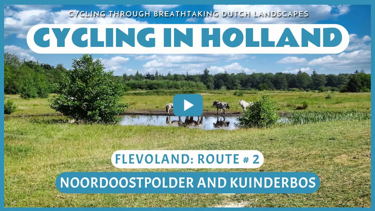
Noordoostpolder and Kuinderbos
Cycling through an impressive, expansive landscape with beautiful vistas stretching to the horizon, green polder meadows, colorful fields, and surprising forests.

The Landscape
About eighty years ago, the Noordoostpolder was created. After draining the former Zuiderzee, engineers carefully designed the new land. Straight canals, neat roads, and the central town of Emmeloord surrounded by ten villages, each with its own character and purpose. The focus was on agriculture, but there was also space for homes, work, and nature. Today, the area has grown into a varied landscape with colorful fields, green meadows, distinctive rows of trees, sheltered farms, and lush forests. The open space and orderly layout give the Noordoostpolder its unique charm.
The Kuinderbos is the largest and oldest forest in the Noordoostpolder. What was once the bottom of the Zuiderzee has transformed into a diverse and lush landscape of deciduous and coniferous trees, flower-rich meadows, reed beds, and ponds. This nature reserve is home to a wide variety of plants and animals. You can spot many bird species, and with a bit of luck, you might even see deer or a badger. Old harbor quays and ditches serve as reminders of the time before the land was reclaimed, making the Kuinderbos not just a natural area but also a living monument to medieval fishing and shipping.

Forests and Heaths

Polders and Farmlands

Marshes and Peatlands

Rivers and Streams
Route map
Start and finish at bike node 88 on the Hopweg in Luttelgeest. However, this bike route is a circular tour, so it offers the possibility to start from any of the following bike nodes.
88 - 24 - 46 - 33 - 97 - 60 - 25 - 7 - 96 - 48 - 40 - 81 - 15 - 82 - 6 - 51 - 40 - 5 - 32 - 27 - 1 - 88
- 100% of the route runs on paved roads.


