
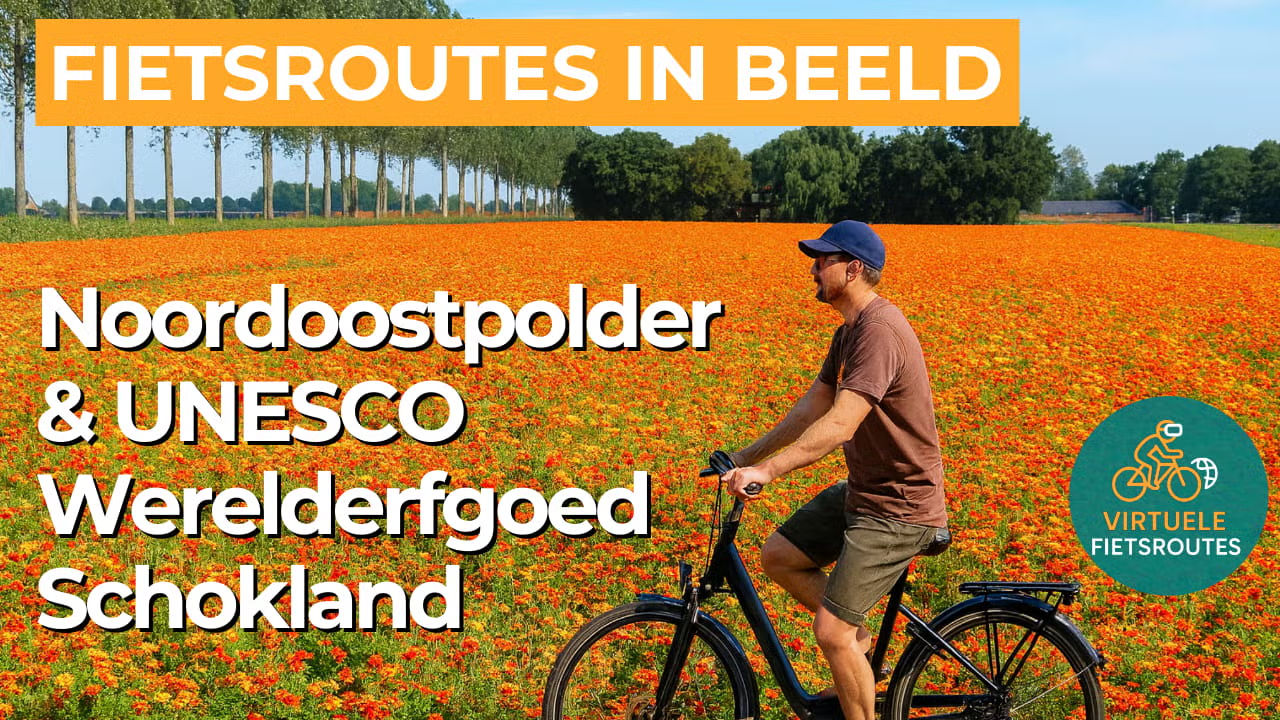
Cycling route Noordoostpolder and UNESCO World Heritage Schokland
Cycle through a neatly structured polder landscape where quiet woodland, sturdy dikes, open water, blooming orchards, and colorful fields alternate along the way.
The Landscape
The Noordoostpolder is a textbook example of Dutch engineered landscape. After the former Zuiderzee was reclaimed, the new land was laid out according to a clear plan, with straight drainage canals, perfectly aligned roads, and a logical network of villages surrounding a centrally located core. That orderly structure is still evident everywhere, yet it gains color and variation through the seasons, through farmstead plantings, and through surprisingly green woodland strips that break the wind and give the route a sheltered, gentle rhythm.
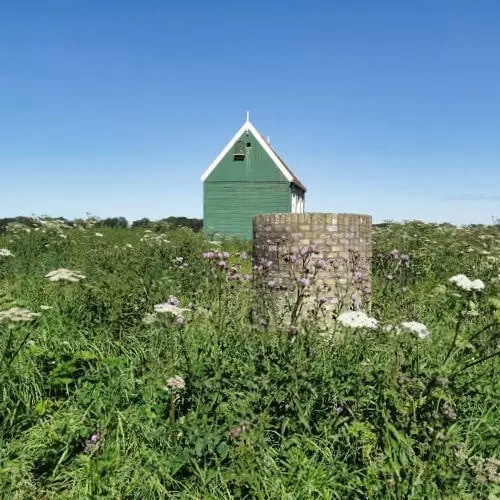
At the heart of this young land lies Schokland, a place that feels older than the polder surrounding it. As a former island in the Zuiderzee, it tells a story of living with water, of departure and return, and of communities constantly adapting to a changing landscape. Since 1942, Schokland has no longer been surrounded by sea but by reclaimed land, making its history literally visible in remnants of dikes, raised grounds, and traces in the soil. It is precisely this blend of open space and tangible heritage that makes this cycling route so distinctive.
What You’ll Discover Along the Way
Between Nagele and Kraggenburg, woodland edges and broad green belts provide shelter in the open polder landscape. Around Kraggenburg, the scenery becomes greener, with longer stretches along tree-lined, quiet paths—a welcome contrast to the wide-open roads and distant horizon.
Around Schokland, a UNESCO World Heritage site, you cycle along the recognizable lines of the former island’s edge, past remnants of dikes and subtle variations in elevation. The museum and the historic church site add further depth, allowing you not only to pass the heritage but to truly experience the story of water, settlement, and land reclamation along your route.
The Noordoostpolder lets you experience the essence of the polder landscape in full. You follow long, straight roads past fields, drainage canals, and farmsteads, with wide-open views that change with the seasons. The orderly layout and expansive openness make this a route where your pace naturally settles into a steady rhythm and you can truly cover the miles.
Along the edges of the polder, the Ketelmeer and the Zwarte Meer bring extra light, openness, and vitality. You cycle past reed beds, dikes, and viewpoints where waterbirds are often abundant, with wide panoramas that further emphasize the contrast between water and land.
Ride along with us on this virtual bike tour
Virtual cycling through the Noordoostpolder lets you experience the iconic polder landscape of Flevoland from home, with long straight roads, wide waterways, and sweeping views across fields, grasslands, and orchards that change with the seasons. Woodland belts, dikes, and quiet polder paths provide shelter and variety, giving the route a dynamic and ever-changing character.
Around Schokland, you experience a place where water history and landscape come together. The former island now lies in the heart of the polder, with subtle elevations and traces of old dikes still clearly visible. Toward the Ketelmeer and the Zwarte Meer, open water and waterbirds bring extra space and light, allowing nature and heritage to complement each other beautifully.
Want to learn more about virtual cycling? THIS IS HOW VIRTUAL CYCLING WORKS
Route map and cycling junctions
Start and finish at cycling junction 61 on the Schokkerringweg in Schokland. Because this is a circular route, you can also start at one of the other cycling junctions along the route.
Distance: 57 km
Estimated riding time: 3 hours 49 minutes
Elevation gain: 24 m
Paved roads: 73%
Unpaved / semi-paved: 27%
Ideal for: e-bikes and city bikes
Along the way: several options for a coffee break or lunch.


