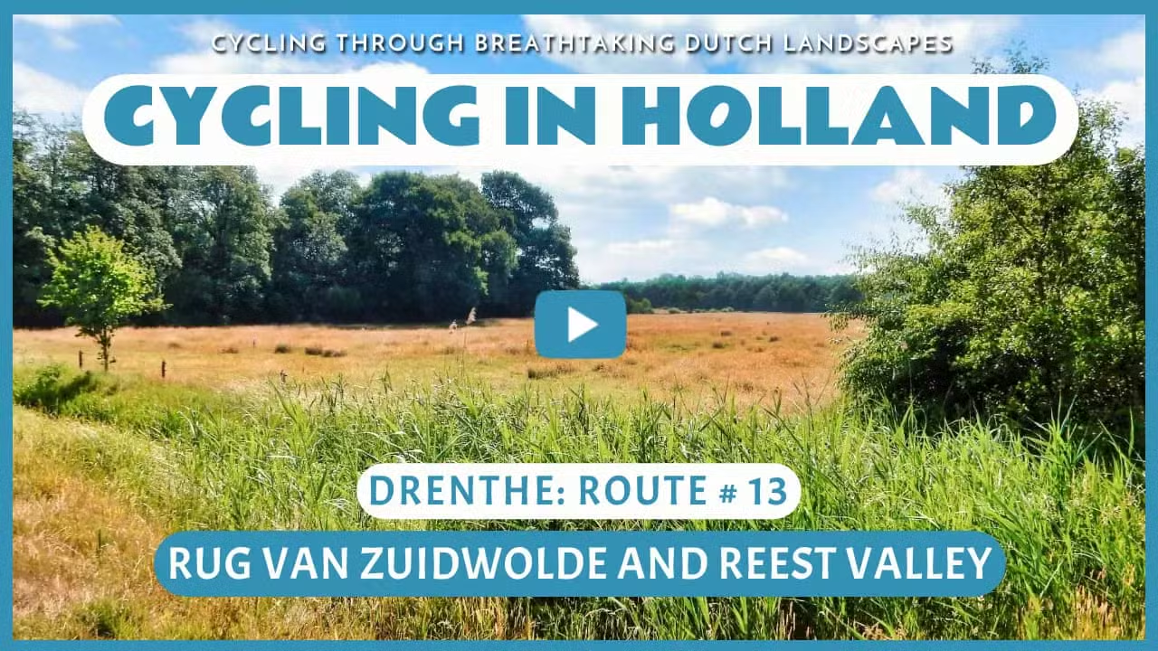
Rug van Zuidwolde and Reest Valley
Cycling through a beautiful and varied landscape of meandering stream valleys, flower-rich meadows, ancient hedgerows, forests, heathlands, and tranquil fens

The Landscape
The Rug van Zuidwolde is a beautiful ridge that was formed during the penultimate Ice Age. The advancing ice shaped a stunning natural landscape around the traditional village of Zuidwolde. This natural beauty continues into the Reest Valley, a valley that winds its way along the same ridge. Straddling the provinces of Drenthe and Overijssel, the Reest Valley is an ancient landscape, once an expansive and impenetrable marshland dotted with lush forests. Today, it’s an enchanting patch of nature, transformed in the Middle Ages by farmers and monks into fertile fields and hay meadows.
The Reest, a gently flowing lowland stream, winds its way through a region where flower-filled meadows, ancient hedgerows, rolling fields, heathlands, and woodlands blend together in perfect harmony. This picturesque landscape still hides secluded spots that once inspired countless myths and legends. Coppice woods, hedgerows, grain fields, and age-old church paths in the valley are still managed today just as they were by farmers centuries ago. The Reest is also one of the few streams in the Netherlands that still flows through the landscape in its original, meandering form.

Forests and Heaths

Estates and Heritage

Polders and Farmlands

Rivers and Streams
Route map
Start and finish near bike node 74 at the Leeuwenveenseweg in Veeningen. However, this bike route is a circular tour, so it offers the possibility to start from any of the following bike nodes.
74 - 72 - 61 - 76 - 80 - 89 - 86 - 87 - 88 - 35 - 37 - 99 - 90 - 17 - 27 - 65 - 64 - 62 - 73 - 74
- 82% of the route runs on paved roads.
- 18% of the route runs on unpaved and semi-paved paths.


