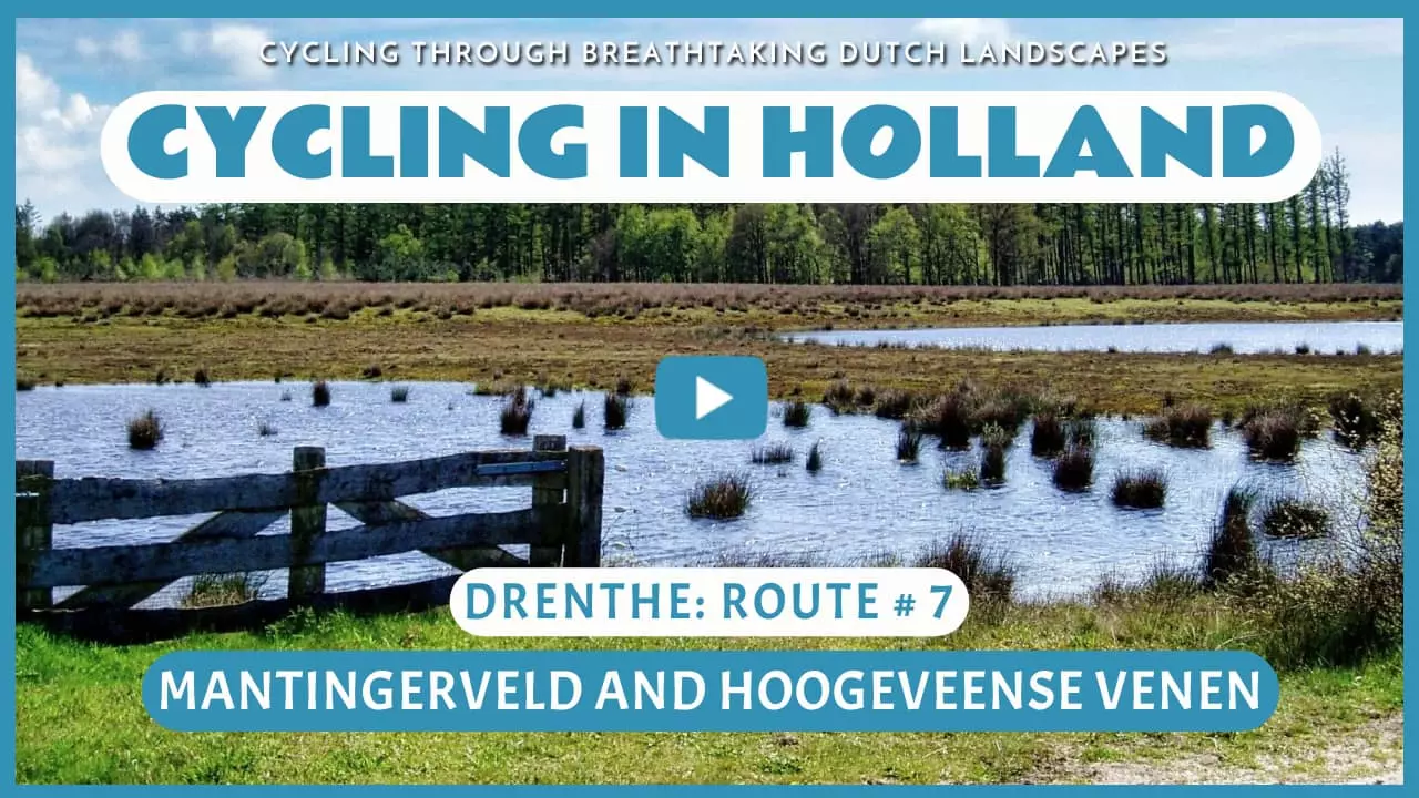
Mantingerveld and Hoogeveense Venen
Cycling through a primeval landscape of vast heathlands, an ancient forest, shifting sand dunes, and centuries-old juniper thickets.

The Landscape
Thousands of years ago, the Hoogeveense Venen were an impenetrable expanse of raised peat bogs. Today, the landscape unfolds in rich variety, where cultivated land and original nature blend in seamless harmony. The Mantingerveld is a remarkable nature reserve, a rare remnant of the open heathlands of Drenthe. By merging smaller patches of wilderness, a vast and continuous heathland has been created, where nature is given the space to return to its former glory.
The clean, rectangular lines of the Hoogeveense Venen reveal a history shaped by centuries of peat cutting. Straight canals, ditches, roads, and peat-colony villages define the landscape. At its heart lies Boswachterij Gees, a 1,600-hectare nature reserve established in the 1930s. Here, you wander through stately deciduous forests, interspersed with heathlands and tranquil fens. The landscape gently transitions into a restored stream valley, with flowing marshes, flower-rich meadows, and a quiet lake where birds feel at home.

Forests and Heaths

Polders and Farmlands

Marshes and Peatlands
Route map
Start and finish near bike node 14 on the Marten Kuilerweg in Hollandscheveld. However, this bike route is a circular tour, so it offers the possibility to start from any of the following bike nodes.
14 - 50 - 78 - 79 - 81 - 83 - 61 - 69 - 63 - 85 - 99 - 60 - 64 - 62 - 18 - 24 - 38 - 37 - 16 - 14
- 88% of the route runs on paved roads.
- 12% of the route runs on unpaved and semi-paved paths.


