
Cycling route Veluwe Sprengen and Broeken
Cycle through a varied Veluwe landscape featuring forests and heathland, wet grasslands, flower-rich meadows, and clear-flowing spring-fed streams.
The Landscape
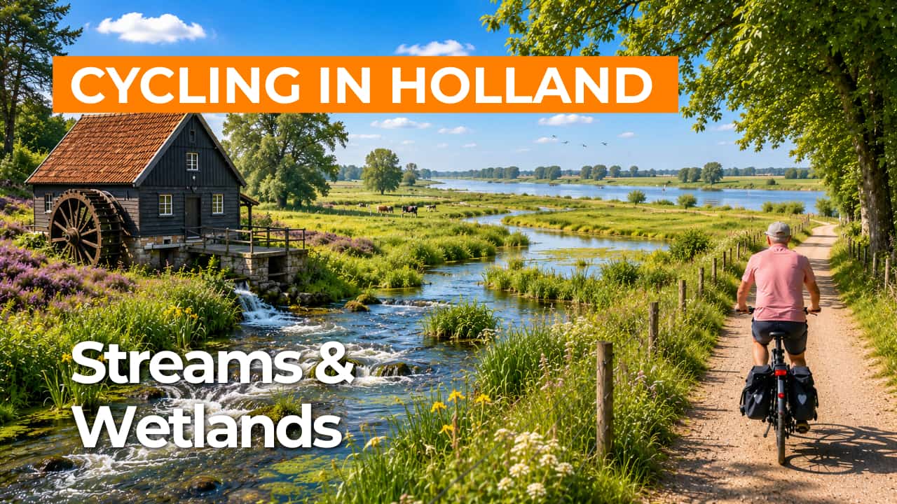
The Veluwe is known for its forests, heathland, and drifting sands, yet it is the network of streams and spring-fed brooks that makes this route especially distinctive. Groundwater seepage and subtle elevation differences create a constant flow of clear water, which has been guided to lower areas for centuries. People once dug sprengen to direct the flow and power watermills, bringing nature and history together in a very tangible way.
The Veluwse broeken lie in low-lying areas that once filled quickly during high water. Too wet for arable farming, they served as valuable hay meadows and pastures, depending on the season. Today, the area forms a mosaic of wet grasslands, flower-rich meadows, and alder carr woodland, set between the higher sandy grounds of the Veluwe.
What You’ll Discover Along the Way
On the higher sandy grounds, you cycle through quiet forests with long avenues and open edges where light filters between the trees. Between coniferous and deciduous stands, patches of heathland appear, adding space and color, especially during the flowering season. The mix of sheltered woodland and open stretches keeps the route engaging.
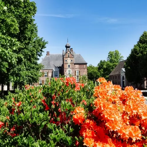
Historic reclamation lines and estate structures are visible in the stately avenues and park-like edges along the route. The sprengen system is an important cultural heritage feature, as water was directed for centuries to power mills and local industry. This gives the ride a layered character, where natural scenery and history come together.
Along the edges of the Veluwe, farmland opens into meadows and fields that bring a sense of calm and clear views. Towards the broeken, wet grasslands alternate with drier plots, creating ever-changing vistas. This variety makes the cycling route appealing in every season.
The sprengen streams form the heart of the route, with clear-flowing water guided from the Veluwe to lower-lying areas. In the broeken, streams meander through damp grasslands and alder-rich edges, creating a fresh, sheltered atmosphere. The interplay of groundwater seepage, stream valleys, and wetland nature gives this area a distinct character.
Ride along with us on this virtual bike tour
Virtually cycling through the Veluwe Sprengen and Broeken lets you move through a classic Veluwe landscape of quiet forests, open heathland, and clear-flowing sprengen streams. You experience the water system up close, with man-made sprengen and streams flowing towards the low-lying broeken.
Along the way, higher sandy grounds alternate with wet broeklands, featuring marshy grasslands, alder carr woodland, and wide views across farmland. This creates a calm, varied cycling route where nature and heritage come together, perfect to follow at home or on a home trainer.
Want to learn more about virtual cycling? THIS IS HOW VIRTUAL CYCLING WORKS
Route map and cycling junctions
Start and finish near cycling junction 75 on the Julianalaan in Vaassen. Because this is a circular route, you can also start at one of the other cycling junctions along the route.
Distance: 48 km
Estimated riding time: 3 hours 11 minutes
Elevation gain: 61 m
Paved roads: 92%
Unpaved / semi-paved: 8%
Ideal for: e-bikes and city bikes
Along the way: several options for a coffee break or lunch.


